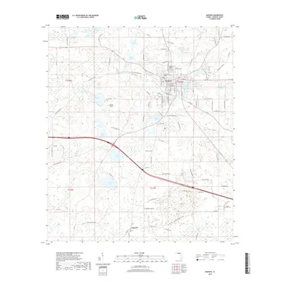
2018 Map of Madison
USGS Topo · Published 2018About this map
Madison serves as the central hub of this North Florida region, characterized by its grid of established streets and the presence of the North Florida Community College campus. The surrounding landscape is a complex network of wetlands and open water, including named features like Francis Lake, Mill Pond, and Loper Pond. These water bodies are interspersed with the open grasslands of Messer Prairie and Hankings Prairie, illustrating the varied terrain of the Florida Panhandle's interior.
Find a feature on this map
114 named features on this map. Tap any name to fly to it.
Don’t see what you’re looking for? This feature index may not catch every label — zoom into the map to look around manually.
Map Details
Editions of this 2018 Madison Map
This is the sole edition of this map. No revisions or reprints were ever made.
Other maps of this area

1954 · Greenville NE
USGS Topo · 1:24,000

1954 · Valdosta
USGS Topo · 1:250,000

1955 · Greenville SE
USGS Topo · 1:24,000

1958 · Valdosta
USGS Topo · 1:250,000

1958 · Madison SW
USGS Topo · 1:24,000

1958 · Madison SE
USGS Topo · 1:24,000

1958 · Lee
USGS Topo · 1:24,000

1959 · Valdosta
USGS Topo · 1:250,000

1959 · Madison
USGS Topo · 1:24,000

1960 · Cherry Lake
USGS Topo · 1:24,000