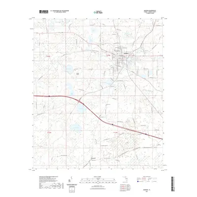
2021 Map of Madison
USGS Topo · Published 2021About this map
The Madison County Courthouse serves as the civic heart of this north Florida landscape, where the town of Madison is surrounded by a dense network of lakes and ponds. This survey reveals a community deeply integrated with its wetlands, from the residential streets near Francis Lake and Mill Pond to the institutional grounds of North Florida Community College. The transition from the town center to the rural surroundings is marked by numerous water bodies like Livingston Springs Pond and Dial Pond, which have long influenced the local settlement pattern.
Find a feature on this map
110 named features on this map. Tap any name to fly to it.
Don’t see what you’re looking for? This feature index may not catch every label — zoom into the map to look around manually.
Map Details
Editions of this 2021 Madison Map
This is the sole edition of this map. No revisions or reprints were ever made.
Other maps of this area

1954 · Greenville NE
USGS Topo · 1:24,000

1954 · Valdosta
USGS Topo · 1:250,000

1955 · Greenville SE
USGS Topo · 1:24,000

1958 · Valdosta
USGS Topo · 1:250,000

1958 · Madison SW
USGS Topo · 1:24,000

1958 · Madison SE
USGS Topo · 1:24,000

1958 · Lee
USGS Topo · 1:24,000

1959 · Valdosta
USGS Topo · 1:250,000

1959 · Madison
USGS Topo · 1:24,000

1960 · Cherry Lake
USGS Topo · 1:24,000