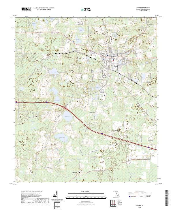
2024 Map of Madison
USGS Topo · Published 2024About this map
Madison serves as the focal point of this North Florida landscape, anchored by the Madison County Courthouse and the campus of North Florida College. The town's grid transitions quickly into a dense network of water bodies and wetlands, including Francis Lake and Mill Pond to the east, and the expansive San Pedro Bay to the south. This environment is characterized by distinct prairies such as Messer Prairie and Hankings Prairie, which interrupt the wooded terrain of the coastal plain.
Find a feature on this map
120 named features on this map. Tap any name to fly to it.
Don’t see what you’re looking for? This feature index may not catch every label — zoom into the map to look around manually.
Map Details
Editions of this 2024 Madison Map
This is the sole edition of this map. No revisions or reprints were ever made.
Other maps of this area

1954 · Greenville NE
USGS Topo · 1:24,000

1954 · Valdosta
USGS Topo · 1:250,000

1955 · Greenville SE
USGS Topo · 1:24,000

1958 · Valdosta
USGS Topo · 1:250,000

1958 · Madison SW
USGS Topo · 1:24,000

1958 · Madison SE
USGS Topo · 1:24,000

1958 · Lee
USGS Topo · 1:24,000

1959 · Valdosta
USGS Topo · 1:250,000

1959 · Madison
USGS Topo · 1:24,000

1960 · Cherry Lake
USGS Topo · 1:24,000