
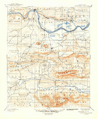
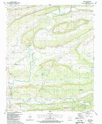
1887 Map of Magazine Mountain
USGS Topo · Published 1887About this map
The Arkansas River serves as the primary artery for transport and commerce in this late 19th-century portrait of Franklin and Logan counties. The Little Rock and Fort Smith Railroad parallels the northern bank, connecting industrial and shipping hubs like Coal Hill and Altus. Along the southern bank, older river-oriented settlements such as Roseville and Patterson's Bluff reflect an era of steamboat landings that predated the heavy rail expansion.
Find a feature on this map
88 named features on this map. Tap any name to fly to it.
Don’t see what you’re looking for? This feature index may not catch every label — zoom into the map to look around manually.
Map Details
Editions of this 1887 Magazine Mountain Map
This is the sole edition of this map. No revisions or reprints were ever made.
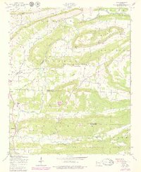
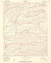
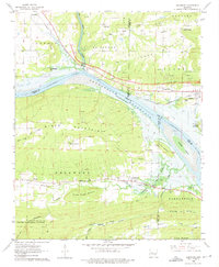
Historical Maps of Prairie View Through Time
19 maps found

1879 Mountain Home
Logan County, AR

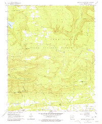
1887 Magazine Mountain #1
Logan County, AR

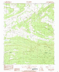
1887 Magazine Mountain #3
Logan County, AR

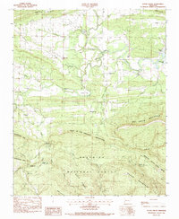
1887 Magazine Mountain #4
Logan County, AR
1887 Magazine Mountain
Logan County, AR
1890 Magazine Mountain
Logan County, AR
1947 Ione
Logan County, AR
1951 Ione
Logan County, AR
1962 Delaware
Logan County, AR
1966 Magazine Mountain NE
Logan County, AR
1983 Golden City
Logan County, AR
1983 Sugar Grove
Logan County, AR
1987 Ione
Logan County, AR
1993 Delaware
Logan County, AR
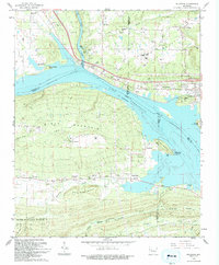
2024 Delaware
Logan County, AR
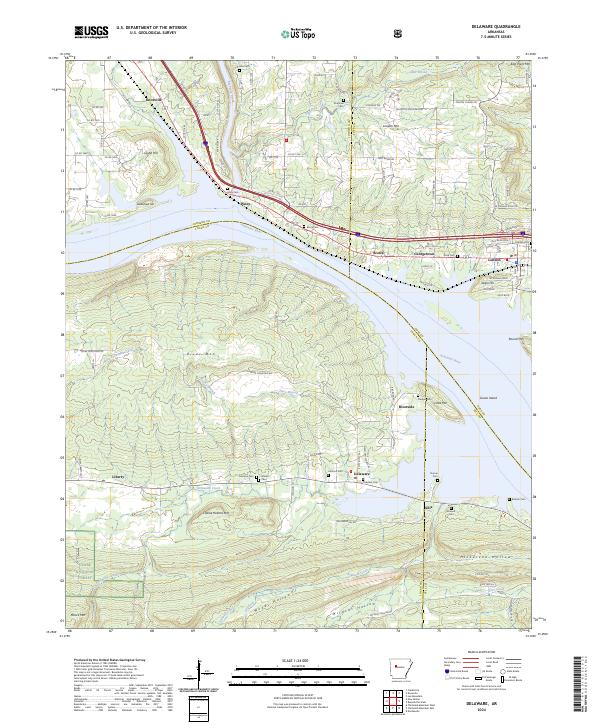
2024 Golden City
Logan County, AR
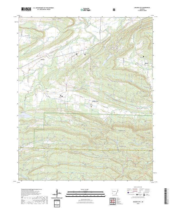
2024 Ione
Logan County, AR
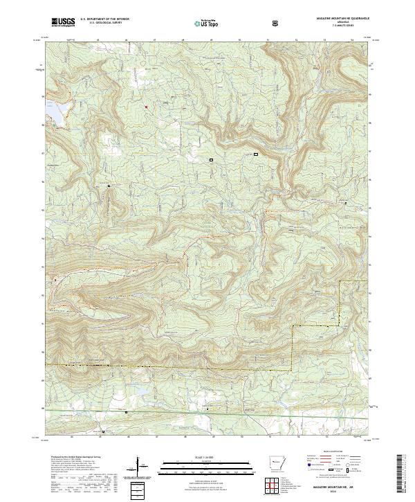
2024 Magazine Mountain NE
Logan County, AR
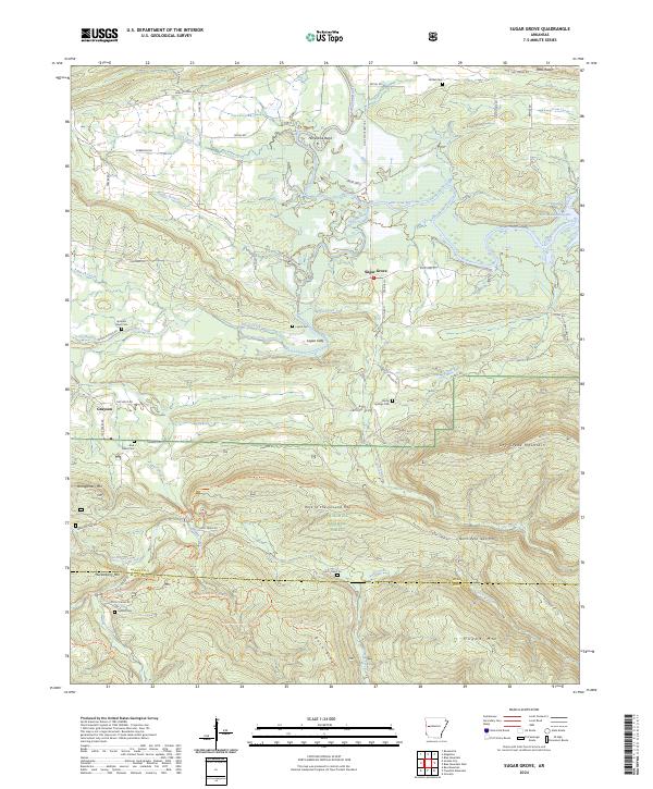
2024 Sugar Grove
Logan County, AR