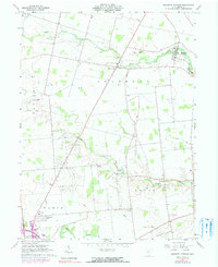
1961 Map of Magnetic Springs
USGS Topo · Published 1990About this map
Magnetic Springs and its surrounding countryside are defined by the winding paths of Bokes Creek and Blues Creek in central Ohio. This 1961 survey, with revisions from 1973, details a landscape transitioning between its agricultural roots and mid-century development. The village of Magnetic Springs is anchored by its Hospital and Maple Dell Cem, reflecting its history as a localized health destination.
Find a feature on this map
31 named features on this map. Tap any name to fly to it.
Don’t see what you’re looking for? This feature index may not catch every label — zoom into the map to look around manually.
Map Details
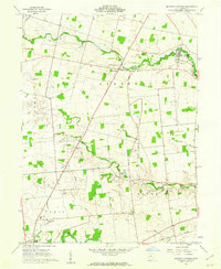
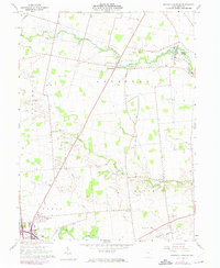
Editions of this 1961 Magnetic Springs Map
3 editions found
Other maps of this area

1901 · Dublin
USGS Topo · 1:62,500

1903 · Dublin
USGS Topo · 1:62,500

1913 · Richwood
USGS Topo · 1:62,500

1915 · Richwood
USGS Topo · 1:62,500

1916 · Milford Center
USGS Topo · 1:62,500

1924 · Delaware
USGS Topo · 1:62,500

1925 · Delaware
USGS Topo · 1:62,500

1944 · Richwood
USGS Topo · 1:62,500

1944 · Milford Center
USGS Topo · 1:62,500

1944 · Delaware
USGS Topo · 1:62,500