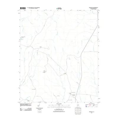
2011 Map of Magnolia
USGS Topo · Published 2011About this map
Magnolia and the nearby community of Shiloh anchor this part of Marengo County, characterized by a complex drainage network feeding into the Tombigbee River watershed. The landscape is defined by the convergence of numerous creeks, including Watkins Creek, Turkey Creek, and James Creek, which dictate the placement of local roads and family-named landmarks.
Find a feature on this map
40 named features on this map. Tap any name to fly to it.
Don’t see what you’re looking for? This feature index may not catch every label — zoom into the map to look around manually.
Map Details
Editions of this 2011 Magnolia Map
This is the sole edition of this map. No revisions or reprints were ever made.
Other maps of this area

1953 · Montgomery
USGS Topo · 1:250,000

1956 · Montgomery
USGS Topo · 1:250,000

1957 · Montgomery
USGS Topo · 1:250,000

1968 · Thomaston East
USGS Topo · 1:24,000

1968 · Thomaston West
USGS Topo · 1:24,000

1970 · Linden
USGS Topo · 1:24,000

1978 · Surginer
USGS Topo · 1:24,000

1978 · Sweet Water
USGS Topo · 1:24,000
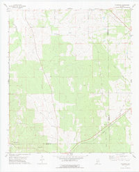
1978 · Flatwood
USGS Topo · 1:24,000
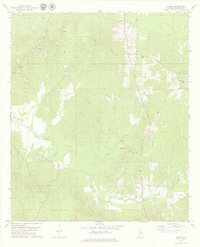
1978 · Miller
USGS Topo · 1:24,000