
1934 Map of Maiden Peak
USGS Topo · Published 1934About this map
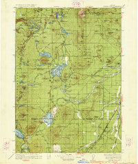
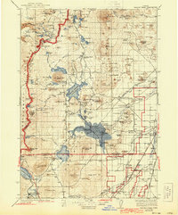
Crane Prairie Reservoir sits at the heart of this landscape, its expansive waters fed by the Cultus River and Deschutes River. At this time, the surrounding forest is dotted with specialized outposts including the Deschutes Bridge Guard Sta, Rosland Guard Sta, and Full River Ranger Sta, reflecting a period of active resource management and early outdoor recreation. The settlement of Lapine anchors the eastern edge along The Dalles California Highway, while the Southern Pacific railroad skirts the southwestern corner near Odell Lake.
Find a feature on this map
131 named features on this map. Tap any name to fly to it.
Don’t see what you’re looking for? This feature index may not catch every label — zoom into the map to look around manually.
Map Details
Editions of this 1934 Maiden Peak Map
3 editions found
Other maps of this area

1917 · Diamond Lake
USGS Topo · 1:125,000

1925 · Waldo Lake
USGS Topo · 1:125,000

1926 · Bend
USGS Topo · 1:125,000

1929 · Bend
USGS Topo · 1:125,000

1929 · Three Sisters
USGS Topo · 1:125,000

1930 · Maiden Peak
USGS Topo · 1:125,000

1931 · Newberry Crater
USGS Topo · 1:125,000

1932 · Three Sisters
USGS Topo · 1:125,000

1934 · Mc Kenzie Bridge
USGS Topo · 1:96,000

1935 · Chemult
USGS Topo · 1:96,000