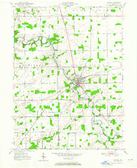
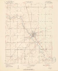
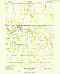
1969 Map of Majenica
USGS Topo · Published 1971About this map
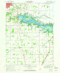
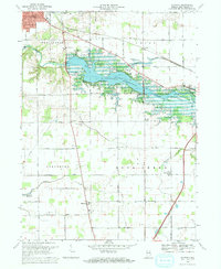
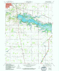
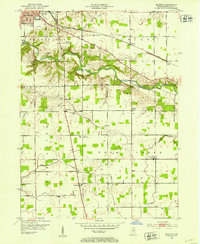
The Wabash River and the newly created Huntington Reservoir dominate this 1969 landscape just south of Huntington. The inundation of the river valley for flood control is evident, with the Little River joining the main stem near a prominent Gaging Station. This era marks a significant transition for Huntington County, where traditional agricultural land-use patterns meet modern infrastructure projects like the Huntington Municipal Airport and the sprawling State Recreation Area.
Find a feature on this map
47 named features on this map. Tap any name to fly to it.
Don’t see what you’re looking for? This feature index may not catch every label — zoom into the map to look around manually.
Map Details
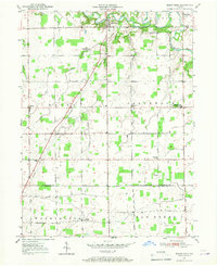
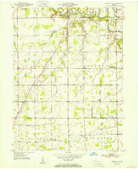
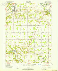
Editions of this 1969 Majenica Map
3 editions found
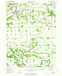
Other maps of this area
1950 · Andrews
USGS Topo · 1:24,000
1950 · Warren
USGS Topo · 1:24,000
1950 · Mount Etna
USGS Topo · 1:24,000
1951 · Mount Etna
USGS Topo · 1:24,000
1951 · Andrews
USGS Topo · 1:24,000
1952 · Warren
USGS Topo · 1:24,000
1952 · Majenica
USGS Topo · 1:24,000

1953 · Muncie
USGS Topo · 1:250,000
1955 · Markle
USGS Topo · 1:24,000
1955 · Bippus
USGS Topo · 1:24,000