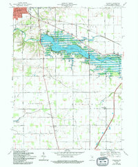
1969 Map of Majenica
USGS Topo · Published 1994About this map
Huntington Lake dominates the center of this landscape, created by the damming of the Little River and the Wabash River. The water's rise changed the local geography, creating public use areas and submerging land near the County Infirmary and Huntington Municipal Airport. South of the lake, the terrain transitions into a grid of rural farmsteads and crossroads settlements like Majenica and Rock Creek Center. This 1969 field-checked survey preserves the locations of numerous historic cemeteries, including Loon Creek Cem and Yankeetown Cem, along with country parishes such as Star of Hope Ch. The map provides a look at the region's intersection of natural waterways and modern infrastructure, including the Salamonie Reservoir in the southwest corner and the extensive drainage network of Elkenberry Ditch.
Find a feature on this map
36 named features on this map. Tap any name to fly to it.
Don’t see what you’re looking for? This feature index may not catch every label — zoom into the map to look around manually.
Map Details
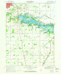
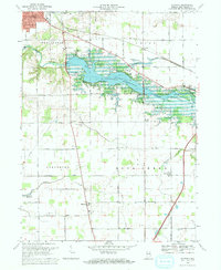
Editions of this 1969 Majenica Map
3 editions found
Other maps of this area

1950 · Andrews
USGS Topo · 1:24,000

1950 · Warren
USGS Topo · 1:24,000

1950 · Mount Etna
USGS Topo · 1:24,000

1951 · Mount Etna
USGS Topo · 1:24,000

1951 · Andrews
USGS Topo · 1:24,000

1952 · Warren
USGS Topo · 1:24,000

1952 · Majenica
USGS Topo · 1:24,000

1953 · Muncie
USGS Topo · 1:250,000

1955 · Markle
USGS Topo · 1:24,000

1955 · Bippus
USGS Topo · 1:24,000