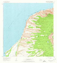
1965 Map of Makaha Point
USGS Topo · Published 1974About this map
Na Pali Coast State Park and the rugged Waimea Canyon State Park define this mid-1960s survey of Kauai’s northwestern edge. The landscape is characterized by a series of steep valleys and ridges, including Makaha Valley and Kauhao Ridge, which drop precipitously toward the Pacific Ocean. Cultural and historical sites are notably present through sacred structures like Kapaula Heiau and Polihale Heiau near the shore.
Find a feature on this map
94 named features on this map. Tap any name to fly to it.
Don’t see what you’re looking for? This feature index may not catch every label — zoom into the map to look around manually.
Map Details
Editions of this 1965 Makaha Point Map
2 editions found
Other maps of this area

1954 · Kauai
USGS Topo · 1:250,000

1963 · Kekaha
USGS Topo · 1:24,000

1965 · Waimea Canyon
USGS Topo · 1:24,000

1965 · Haena
USGS Topo · 1:24,000

1965 · Makaha Point
USGS Topo · 1:24,000

1967 · Kauai
USGS Topo · 1:250,000

1970 · Kauai
USGS Topo · 1:250,000
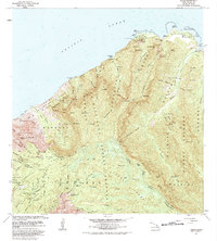
1983 · Haena
USGS Topo · 1:24,000
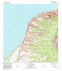
1983 · Makaha Point
USGS Topo · 1:24,000
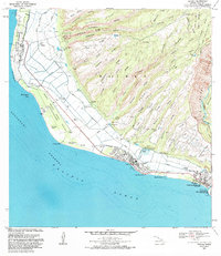
1983 · Kekaha
USGS Topo · 1:24,000