
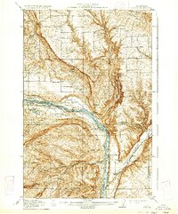
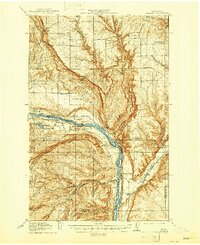
1914 Map of Malaga
USGS Topo · Published 1914About this map
The Columbia River carves a dramatic path through this central Washington landscape, where the Great Northern Railway hugs the northern banks near the town of Malaga. This 1914 study reveals a rugged agricultural and ranching frontier, marked by a high density of rural schoolhouses such as School No 1, Liberty School, and the Lower Stemilt School. These small institutions, along with the Sheehan Ranch, highlight a period of early 20th-century settlement before modern consolidation altered the local social geography.
Find a feature on this map
40 named features on this map. Tap any name to fly to it.
Don’t see what you’re looking for? This feature index may not catch every label — zoom into the map to look around manually.
Map Details
Editions of this 1914 Malaga Map
3 editions found
Other maps of this area

1901 · Chelan
USGS Topo · 1:125,000

1909 · Quincy
USGS Topo · 1:62,500

1910 · Quincy
USGS Topo · 1:62,500

1912 · Malaga
USGS Topo · 1:48,000

1913 · Wenatchee
USGS Topo · 1:62,500

1915 · Wenatchee
USGS Topo · 1:62,500

1920 · Colockum Pass
USGS Topo · 1:125,000

1922 · Colockum Pass
USGS Topo · 1:125,000

1953 · Ritzville
USGS Topo · 1:250,000

1957 · Wenatchee
USGS Topo · 1:250,000