
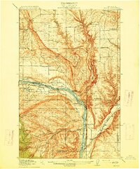
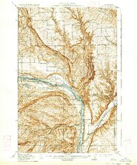
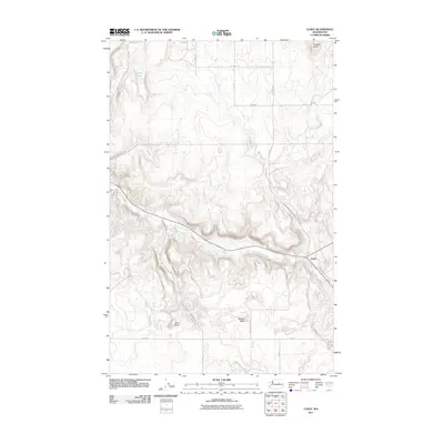
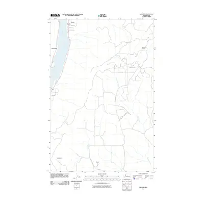
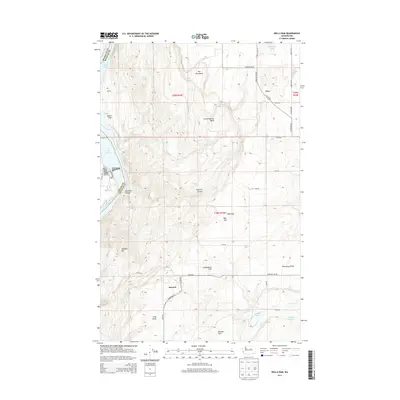
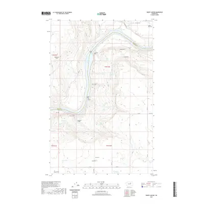
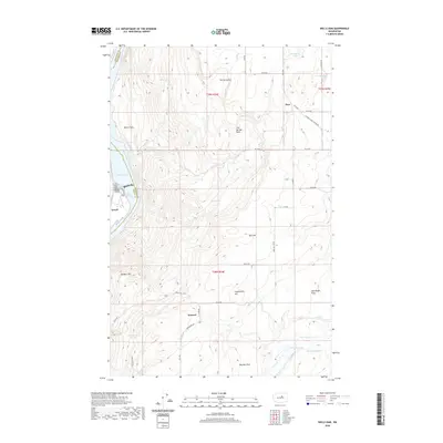
1914 Map of Malaga
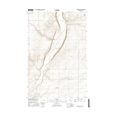
USGS Topo · Published 1947About this map
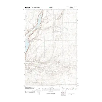
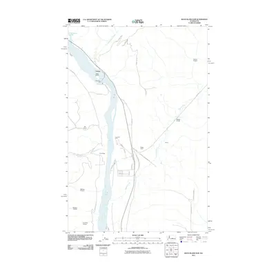
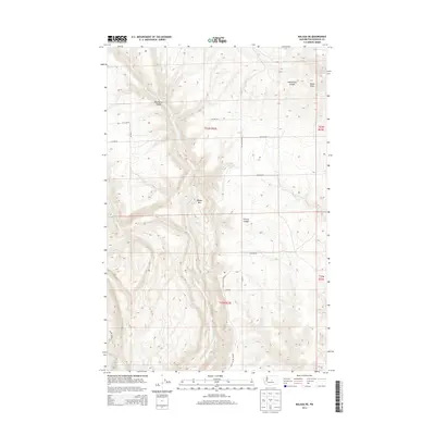
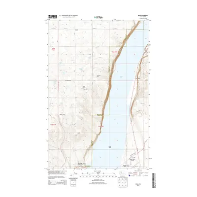
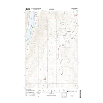
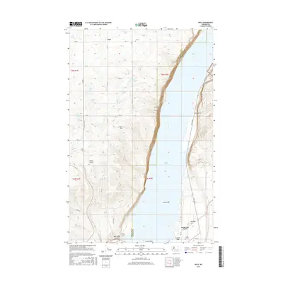
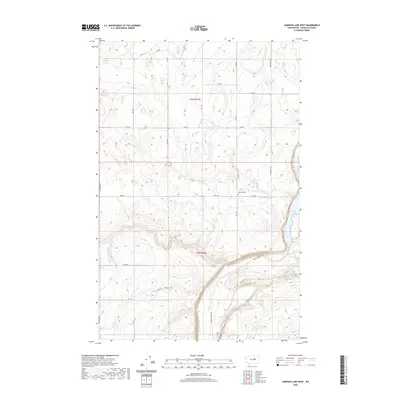
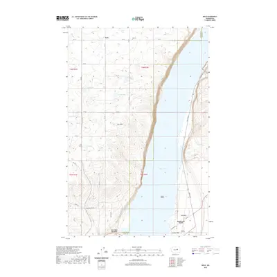
The Columbia River carves a deep path through this central Washington landscape, serving as the border between Chelan and Douglas counties. This 1914 survey, which reflects the early 20th-century agrarian and industrial development of the region, prominently features the Great Northern railroad running along both banks. This rail infrastructure was vital to the growth of settlements like Malaga and the small station at Hammond. The map shows an exceptionally high density of rural schoolhouses, suggesting a thriving dispersed population; researchers can find specific locations for Valhalla School, Liberty School, and Lower Stemilt School among others.
Find a feature on this map
37 named features on this map. Tap any name to fly to it.
Don’t see what you’re looking for? This feature index may not catch every label — zoom into the map to look around manually.
Map Details
Editions of this 1914 Malaga Map
3 editions found
Historical Maps of Rock Island Through Time
189 maps found

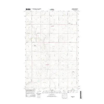
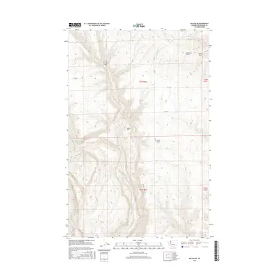
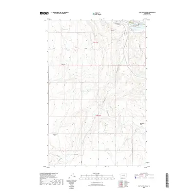
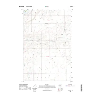
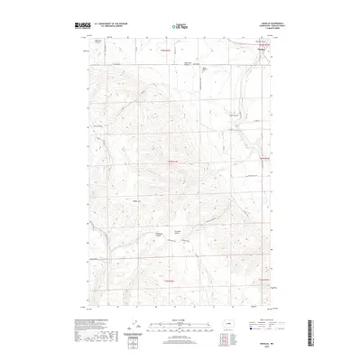
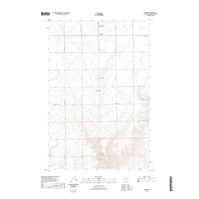
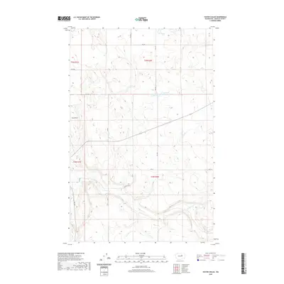
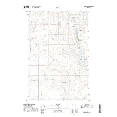
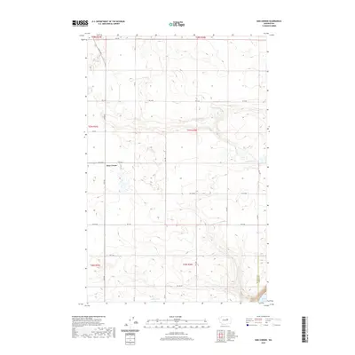
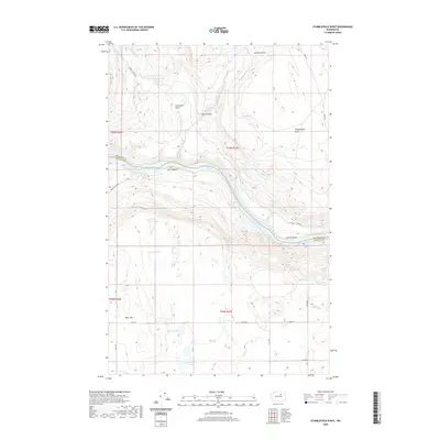
1912 Malaga
Douglas County, WA
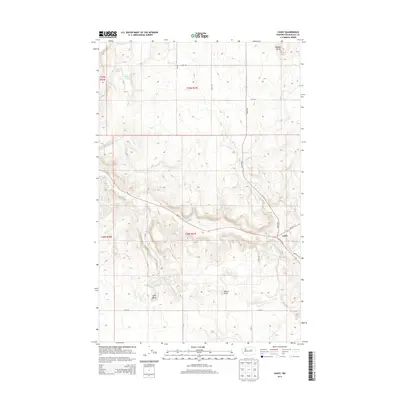
1914 Malaga
Douglas County, WA

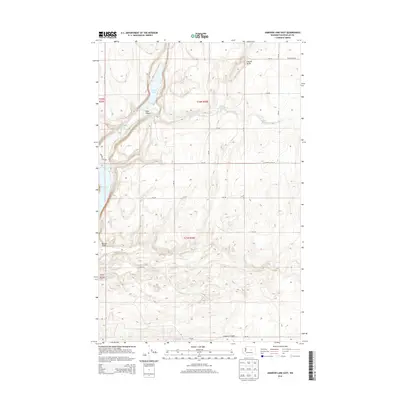
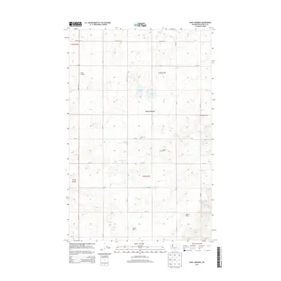
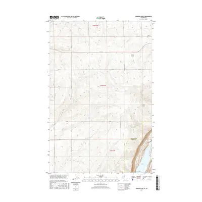
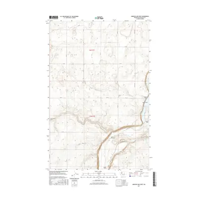
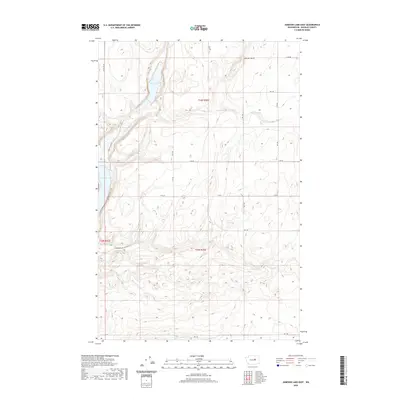
1965 Jameson Lake East
Douglas County, WA

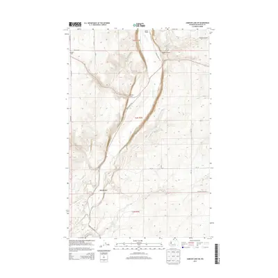
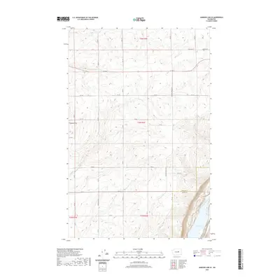
1965 Jameson Lake SE
Douglas County, WA

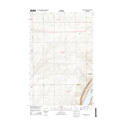
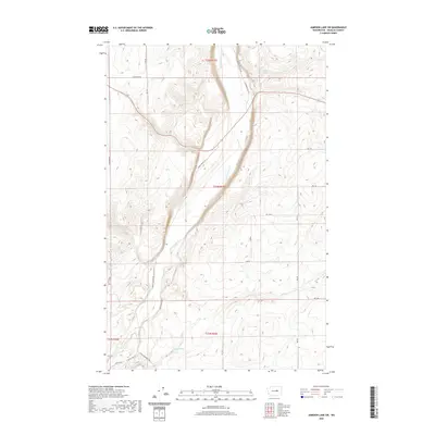
1965 Jameson Lake SW
Douglas County, WA

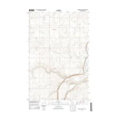
1965 Jameson Lake West
Douglas County, WA

1965 Mold
Douglas County, WA

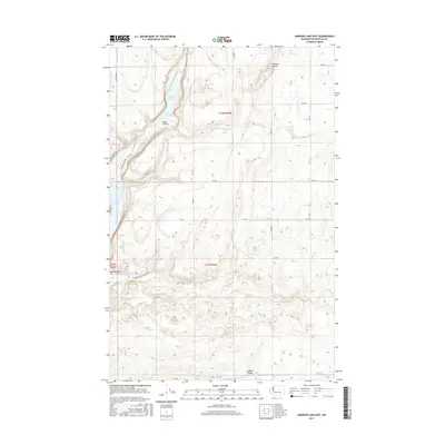
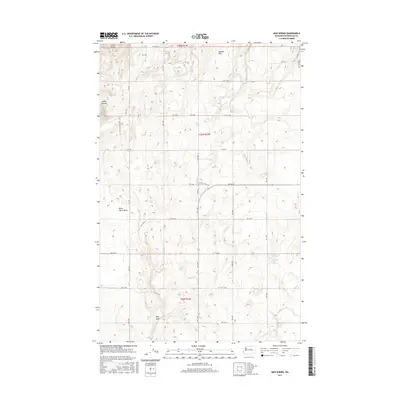
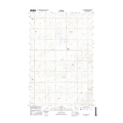
1965 St. Andrews
Douglas County, WA

1966 Malaga NE
Douglas County, WA

1966 Palisades
Douglas County, WA

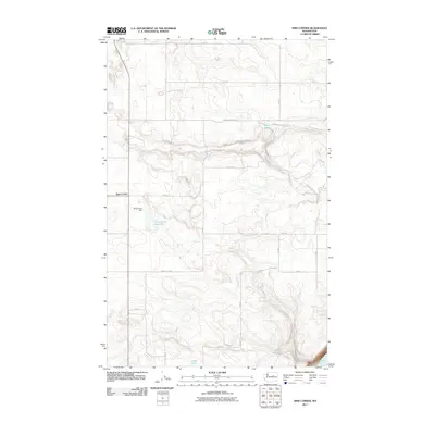
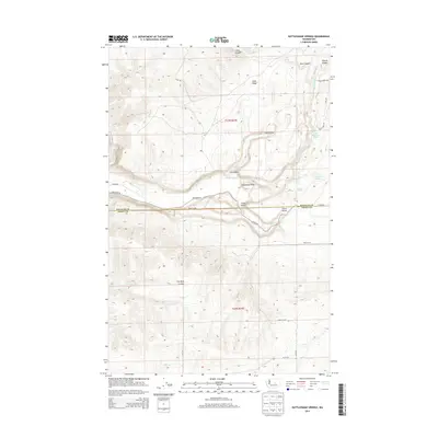
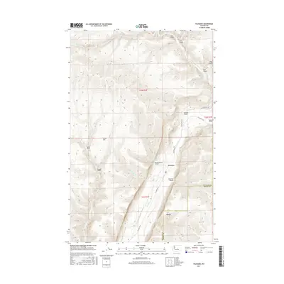
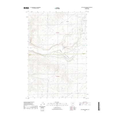
1966 Rattlesnake Springs
Douglas County, WA

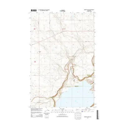
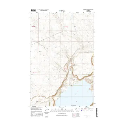
1966 Rock Island Dam
Douglas County, WA

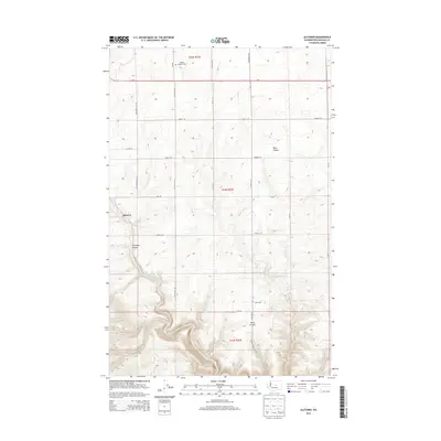
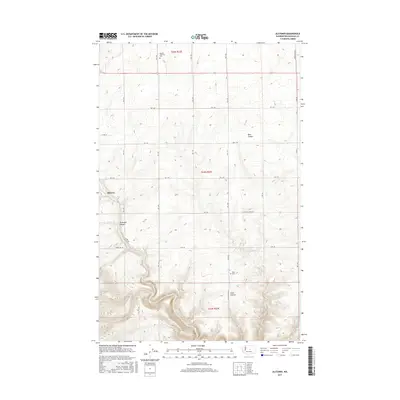
1968 Alstown
Douglas County, WA

1968 Barker Canyon
Douglas County, WA

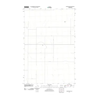
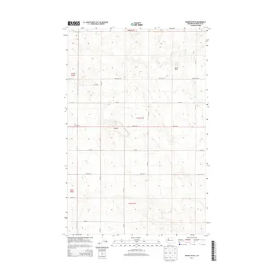
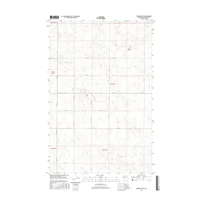
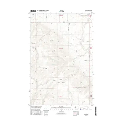
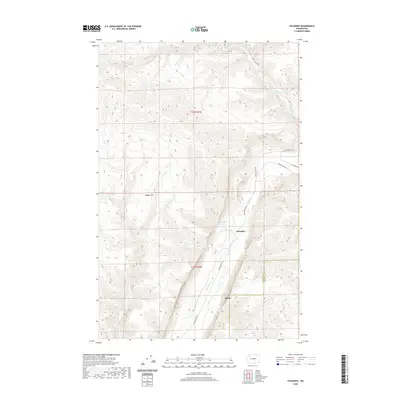
1968 Barnes Butte
Douglas County, WA

1968 Chief Joseph Dam
Douglas County, WA

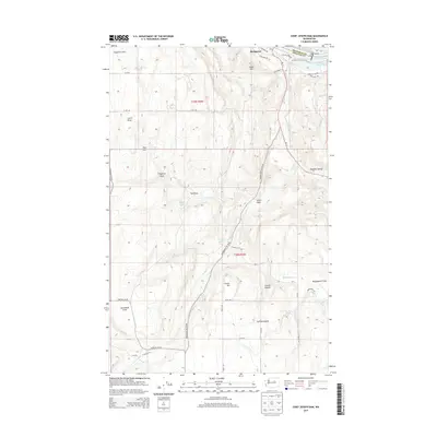
1968 Coleman Hill
Douglas County, WA

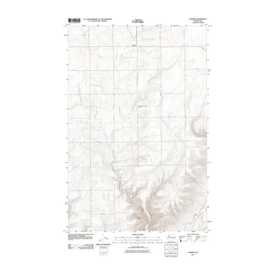
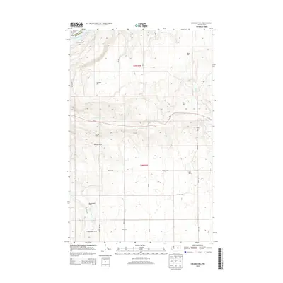
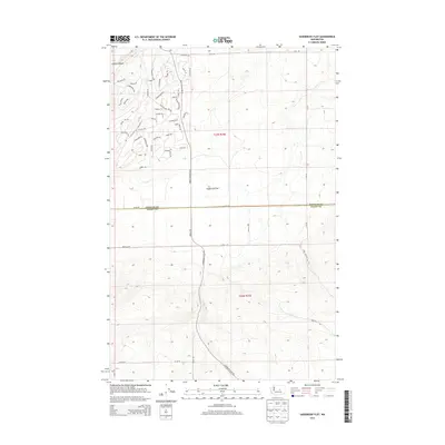
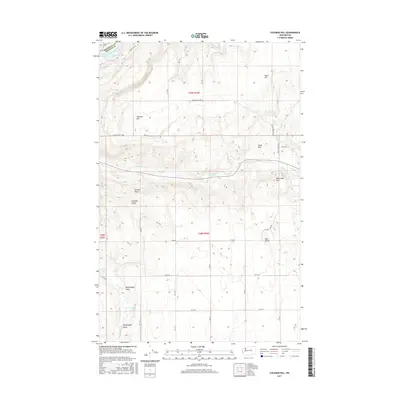
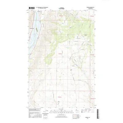
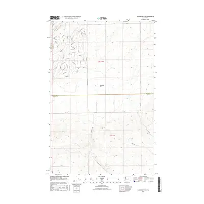
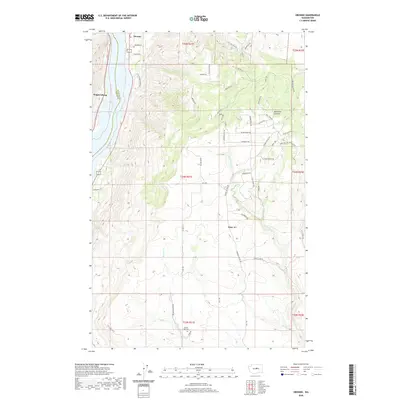
1968 Douglas
Douglas County, WA

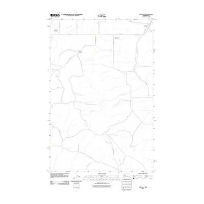
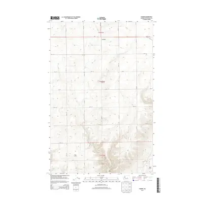
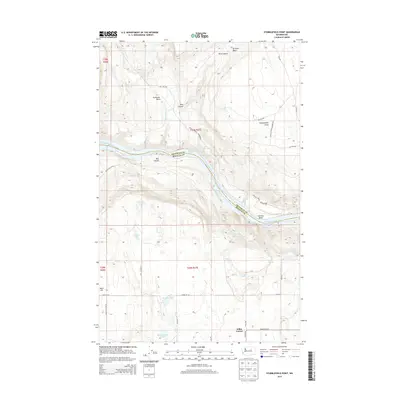
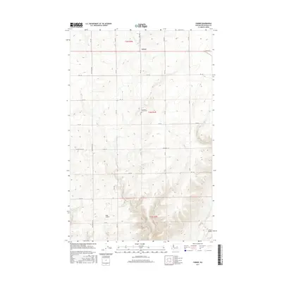
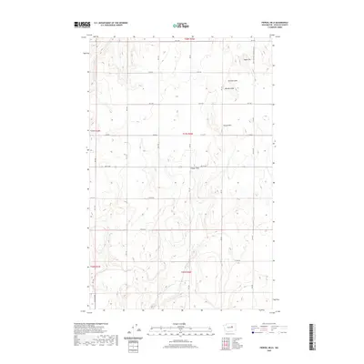
1968 Farmer
Douglas County, WA

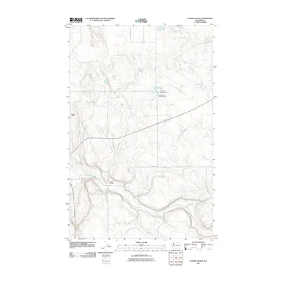
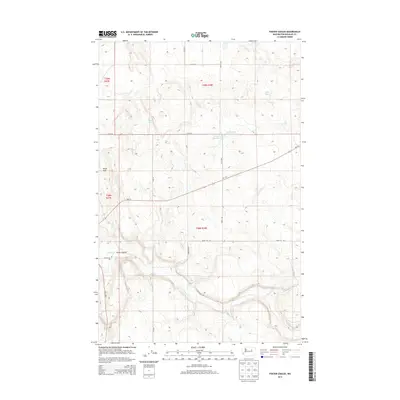
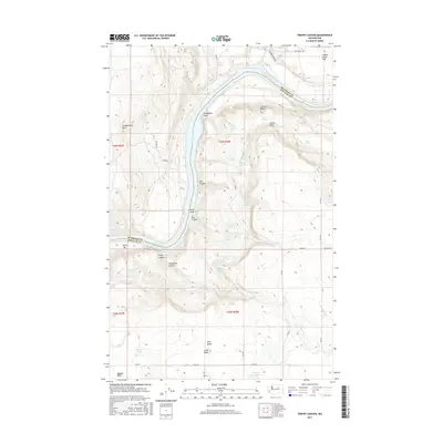
1968 Foster Coulee
Douglas County, WA

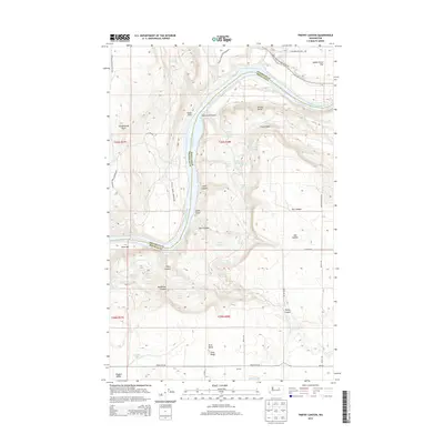
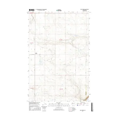
1968 Lamoine
Douglas County, WA

1968 Leahy
Douglas County, WA

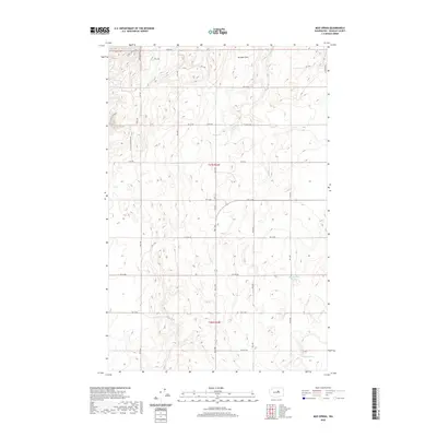
1968 Mud Spring
Douglas County, WA

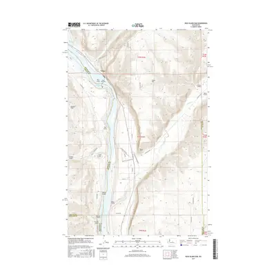
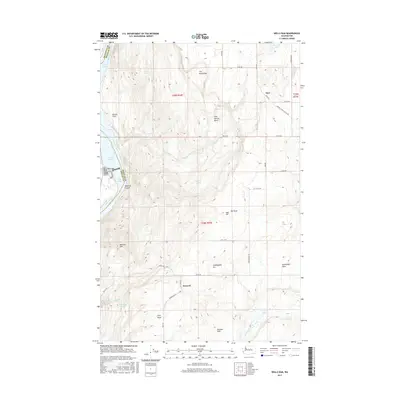
1968 Orondo
Douglas County, WA

1968 Piersol Hills
Douglas County, WA

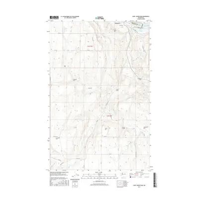
1968 Sims Corner
Douglas County, WA

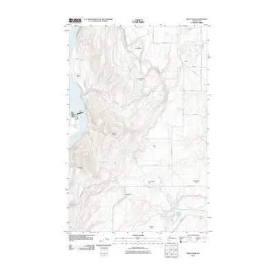
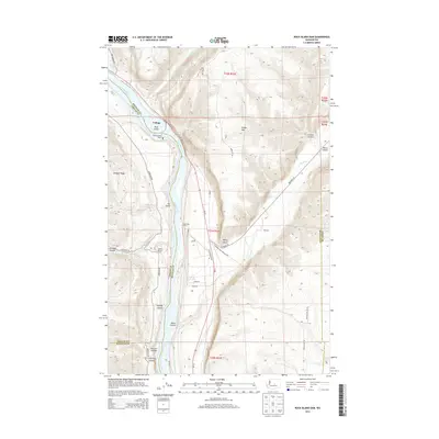
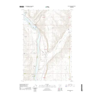
1968 Wells Dam
Douglas County, WA

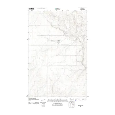
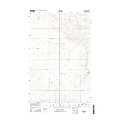
1968 Withrow
Douglas County, WA

1980 Trefry Canyon
Douglas County, WA

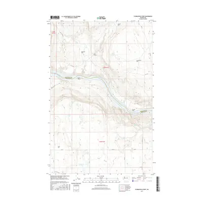
1981 Stubblefield Point
Douglas County, WA

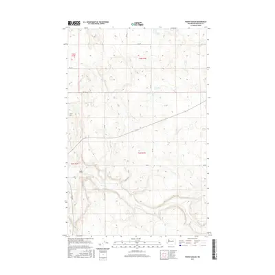
1985 Sagebrush Flat
Douglas County, WA

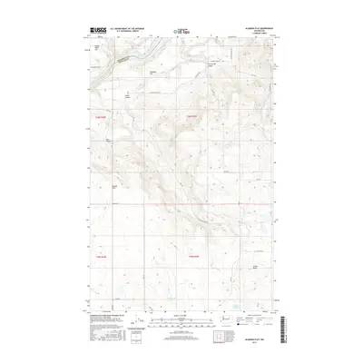
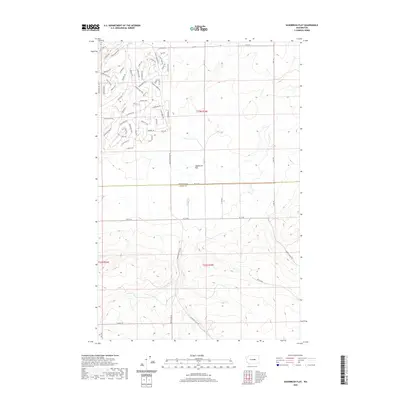
1989 Alameda Flat
Douglas County, WA

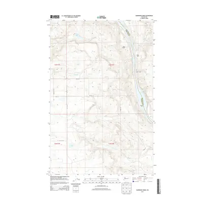
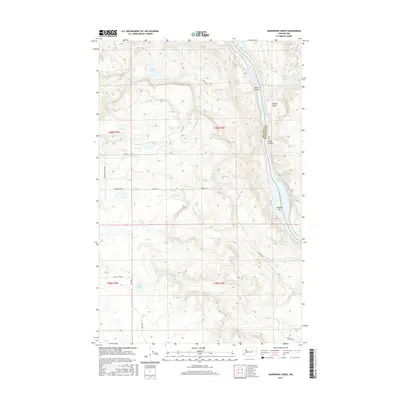
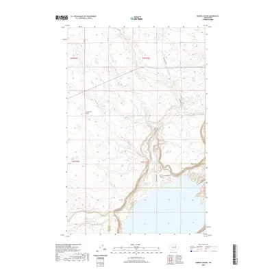
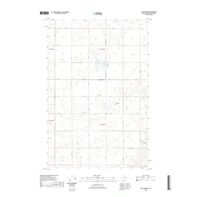
1989 Sanderson Creek
Douglas County, WA

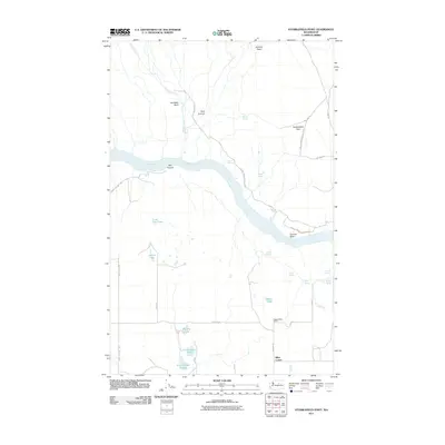
2003 Orondo
Douglas County, WA
2011 Alameda Flat
Douglas County, WA
2011 Alstown
Douglas County, WA
2011 Barker Canyon
Douglas County, WA
2011 Barnes Butte
Douglas County, WA
2011 Chief Joseph Dam
Douglas County, WA
2011 Coleman Hill
Douglas County, WA
2011 Douglas
Douglas County, WA
2011 Farmer
Douglas County, WA
2011 Foster Coulee
Douglas County, WA
2011 Jameson Lake East
Douglas County, WA
2011 Jameson Lake SE
Douglas County, WA
2011 Jameson Lake SW
Douglas County, WA
2011 Jameson Lake West
Douglas County, WA
2011 Lamoine
Douglas County, WA
2011 Leahy
Douglas County, WA
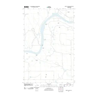
2011 Malaga NE
Douglas County, WA
2011 Mold
Douglas County, WA
2011 Mud Spring
Douglas County, WA
2011 Orondo
Douglas County, WA
2011 Palisades
Douglas County, WA
2011 Piersol Hills
Douglas County, WA
2011 Rattlesnake Springs
Douglas County, WA
2011 Rock Island Dam
Douglas County, WA
2011 Sagebrush Flat
Douglas County, WA
2011 Saint Andrews
Douglas County, WA
2011 Sanderson Creek
Douglas County, WA
2011 Sims Corner
Douglas County, WA
2011 Stubblefield Point
Douglas County, WA
2011 Trefry Canyon
Douglas County, WA
2011 Wells Dam
Douglas County, WA
2011 Withrow
Douglas County, WA

2014 Alameda Flat
Douglas County, WA
2014 Alstown
Douglas County, WA
2014 Barker Canyon
Douglas County, WA
2014 Barnes Butte
Douglas County, WA
2014 Chief Joseph Dam
Douglas County, WA
2014 Coleman Hill
Douglas County, WA

2014 Douglas
Douglas County, WA
2014 Farmer
Douglas County, WA
2014 Foster Coulee
Douglas County, WA
2014 Jameson Lake East
Douglas County, WA
2014 Jameson Lake SE
Douglas County, WA
2014 Jameson Lake SW
Douglas County, WA
2014 Jameson Lake West
Douglas County, WA
2014 Lamoine
Douglas County, WA
2014 Leahy
Douglas County, WA
2014 Malaga NE
Douglas County, WA
2014 Mold
Douglas County, WA
2014 Mud Spring
Douglas County, WA
2014 Orondo
Douglas County, WA
2014 Palisades
Douglas County, WA
2014 Piersol Hills
Douglas County, WA
2014 Rattlesnake Springs
Douglas County, WA
2014 Rock Island Dam
Douglas County, WA
2014 Sagebrush Flat
Douglas County, WA
2014 Saint Andrews
Douglas County, WA
2014 Sanderson Creek
Douglas County, WA

2014 Sims Corner
Douglas County, WA
2014 Stubblefield Point
Douglas County, WA
2014 Trefry Canyon
Douglas County, WA
2014 Wells Dam
Douglas County, WA
2014 Withrow
Douglas County, WA
2017 Alameda Flat
Douglas County, WA
2017 Alstown
Douglas County, WA
2017 Barker Canyon
Douglas County, WA
2017 Barnes Butte
Douglas County, WA
2017 Chief Joseph Dam
Douglas County, WA
2017 Coleman Hill
Douglas County, WA
2017 Douglas
Douglas County, WA
2017 Farmer
Douglas County, WA
2017 Foster Coulee
Douglas County, WA
2017 Jameson Lake East
Douglas County, WA
2017 Jameson Lake SE
Douglas County, WA
2017 Jameson Lake SW
Douglas County, WA
2017 Jameson Lake West
Douglas County, WA
2017 Lamoine
Douglas County, WA
2017 Leahy
Douglas County, WA
2017 Malaga NE
Douglas County, WA
2017 Mold
Douglas County, WA
2017 Mud Spring
Douglas County, WA
2017 Orondo
Douglas County, WA
2017 Palisades
Douglas County, WA
2017 Piersol Hills
Douglas County, WA
2017 Rattlesnake Springs
Douglas County, WA
2017 Rock Island Dam
Douglas County, WA
2017 Sagebrush Flat
Douglas County, WA
2017 Saint Andrews
Douglas County, WA
2017 Sanderson Creek
Douglas County, WA
2017 Sims Corner
Douglas County, WA
2017 Stubblefield Point
Douglas County, WA
2017 Trefry Canyon
Douglas County, WA
2017 Wells Dam
Douglas County, WA
2017 Withrow
Douglas County, WA
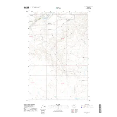
2020 Alameda Flat
Douglas County, WA
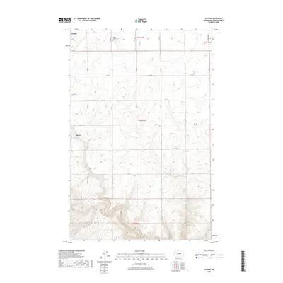
2020 Alstown
Douglas County, WA
2020 Barker Canyon
Douglas County, WA
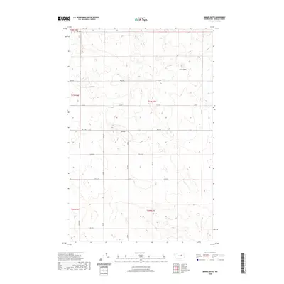
2020 Barnes Butte
Douglas County, WA
2020 Chief Joseph Dam
Douglas County, WA
2020 Coleman Hill
Douglas County, WA
2020 Douglas
Douglas County, WA
2020 Farmer
Douglas County, WA
2020 Foster Coulee
Douglas County, WA
2020 Jameson Lake East
Douglas County, WA
2020 Jameson Lake SE
Douglas County, WA
2020 Jameson Lake SW
Douglas County, WA
2020 Jameson Lake West
Douglas County, WA
2020 Lamoine
Douglas County, WA

2020 Leahy
Douglas County, WA
2020 Malaga NE
Douglas County, WA
2020 Mold
Douglas County, WA
2020 Mud Spring
Douglas County, WA
2020 Orondo
Douglas County, WA
2020 Palisades
Douglas County, WA
2020 Piersol Hills
Douglas County, WA
2020 Rattlesnake Springs
Douglas County, WA
2020 Rock Island Dam
Douglas County, WA
2020 Sagebrush Flat
Douglas County, WA
2020 Saint Andrews
Douglas County, WA
2020 Sanderson Creek
Douglas County, WA
2020 Sims Corner
Douglas County, WA
2020 Stubblefield Point
Douglas County, WA
2020 Trefry Canyon
Douglas County, WA
2020 Wells Dam
Douglas County, WA
2020 Withrow
Douglas County, WA

2023 Alameda Flat
Douglas County, WA

2023 Alstown
Douglas County, WA

2023 Barker Canyon
Douglas County, WA

2023 Barnes Butte
Douglas County, WA

2023 Chief Joseph Dam
Douglas County, WA

2023 Coleman Hill
Douglas County, WA

2023 Douglas
Douglas County, WA

2023 Farmer
Douglas County, WA

2023 Foster Coulee
Douglas County, WA

2023 Jameson Lake East
Douglas County, WA

2023 Jameson Lake SE
Douglas County, WA

2023 Jameson Lake SW
Douglas County, WA

2023 Jameson Lake West
Douglas County, WA

2023 Lamoine
Douglas County, WA

2023 Leahy
Douglas County, WA

2023 Malaga NE
Douglas County, WA

2023 Mold
Douglas County, WA

2023 Mud Spring
Douglas County, WA

2023 Orondo
Douglas County, WA

2023 Palisades
Douglas County, WA

2023 Piersol Hills
Douglas County, WA

2023 Rattlesnake Springs
Douglas County, WA

2023 Rock Island Dam
Douglas County, WA

2023 Sagebrush Flat
Douglas County, WA

2023 Saint Andrews
Douglas County, WA

2023 Sanderson Creek
Douglas County, WA

2023 Sims Corner
Douglas County, WA

2023 Stubblefield Point
Douglas County, WA

2023 Trefry Canyon
Douglas County, WA

2023 Wells Dam
Douglas County, WA

2023 Withrow
Douglas County, WA