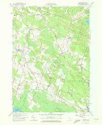
1957 Map of Mallory
USGS Topo · Published 1972About this map
Oneida Lake and the northern shores of Big Bay anchor this landscape, where the low-lying Big Bay Swamp and Toad Harbor Swamp transition into the uplands of Dutch Hill. The area is characterized by small, distinct communities such as West Monroe, Constantia, and Mallory, connected by a network of rural roads like Whig Hill Road and Slocum Road. Several cemeteries, including Little France Cem and Ingersoll Cem, provide valuable landmarks for genealogists tracking early families in this part of Oswego County.
Find a feature on this map
72 named features on this map. Tap any name to fly to it.
Don’t see what you’re looking for? This feature index may not catch every label — zoom into the map to look around manually.
Map Details
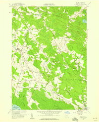
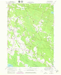
Editions of this 1957 Mallory Map
Other maps of this area

1895 · Chittenango
USGS Topo · 1:62,500

1895 · Syracuse
USGS Topo · 1:62,500

1898 · Syracuse
USGS Topo · 1:62,500

1898 · Chittenango
USGS Topo · 1:62,500

1902 · Chittenango
USGS Topo · 1:62,500

1905 · Mexico
USGS Topo · 1:62,500

1906 · Kasoag
USGS Topo · 1:62,500

1940 · Brewerton
USGS Topo · 1:24,000

1940 · Cicero
USGS Topo · 1:24,000

1941 · Cleveland
USGS Topo · 1:24,000