
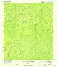
1954 Map of Mallory Swamp NW
USGS Topo · Published 1954About this map
Mallory Swamp dominates the landscape of Lafayette County in this mid-century study, revealing a complex network of wetlands and seasonal water bodies. The terrain is characterized by numerous bays, such as Still Bay, Land Bay, and Bear Bay, interspersed with higher ground like Driggers Ridge. Evidence of the region’s logging history is visible through the Old Railroad Grade that cuts through the northern and central sections, tracing a path through the Brushy and Hammock areas. This transport infrastructure suggests a period when timber extraction was the primary economic driver in these wetlands before the land reverted to more isolated uses.
Find a feature on this map
20 named features on this map. Tap any name to fly to it.
Don’t see what you’re looking for? This feature index may not catch every label — zoom into the map to look around manually.
Map Details
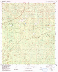
Editions of this 1954 Mallory Swamp NW Map
3 editions found
Other maps of this area

1954 · Day SE
USGS Topo · 1:24,000

1954 · Clara
USGS Topo · 1:24,000

1954 · Mallory Swamp SW
USGS Topo · 1:24,000

1954 · Cooks Hammock
USGS Topo · 1:24,000

1954 · Mallory Swamp SE
USGS Topo · 1:24,000

1954 · Mallory Swamp NE
USGS Topo · 1:24,000

1954 · Gainesville
USGS Topo · 1:250,000

1954 · Valdosta
USGS Topo · 1:250,000

1955 · Mayo
USGS Topo · 1:24,000

1955 · Mayo SE
USGS Topo · 1:24,000