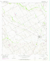
1957 Map of Malone
USGS Topo · Published 1978About this map
Malone and Bynum serve as the primary hubs for this agricultural landscape in Hill County, where the topography is defined by the drainage systems of Bynum Creek and Ash Creek. The 1950s infrastructure revealed here includes a network of levees along the southern watercourses, likely constructed for flood control to protect the surrounding farmland.
Find a feature on this map
14 named features on this map. Tap any name to fly to it.
Don’t see what you’re looking for? This feature index may not catch every label — zoom into the map to look around manually.
Map Details
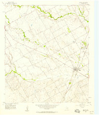
Editions of this 1957 Malone Map
2 editions found
Other maps of this area

1891 · Cleburne
USGS Topo · 1:125,000

1892 · Waco
USGS Topo · 1:125,000

1894 · Cleburne
USGS Topo · 1:125,000

1920 · Waco
USGS Topo · 1:125,000

1954 · Dallas
USGS Topo · 1:250,000

1954 · Waco
USGS Topo · 1:250,000

1955 · Waco
USGS Topo · 1:250,000

1956 · Hubbard
USGS Topo · 1:24,000

1956 · Penelope
USGS Topo · 1:24,000

1956 · Abbott
USGS Topo · 1:24,000