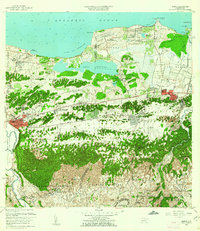
1958 Map of Manati
USGS Topo · Published 1962About this map
The coastal wetlands and limestone karst topography of northern Puerto Rico dominate this late 1950s survey, centered on the urban core of Manatí and the neighboring municipality of Vega Baja. Between the shoreline and the rugged interior hills, the landscape is defined by the Laguna Tortuguero and a network of canals, including the Caño Caribe and Caño San Vicente. These waterways supported the sugar industry, evidenced by the proximity of the Central San Vicente rail infrastructure.
Find a feature on this map
88 named features on this map. Tap any name to fly to it.
Don’t see what you’re looking for? This feature index may not catch every label — zoom into the map to look around manually.
Map Details
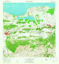
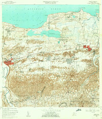
Editions of this 1958 Manati Map
3 editions found
Other maps of this area

1940 · Vega Alta
USGS Topo · 1:30,000

1942 · Manati
USGS Topo · 1:30,000

1942 · Barceloneta
USGS Topo · 1:30,000

1946 · Corozal
USGS Topo · 1:30,000

1946 · Barceloneta
USGS Topo · 1:30,000

1946 · Ciales
USGS Topo · 1:30,000

1946 · Florida
USGS Topo · 1:30,000

1946 · Vega Alta
USGS Topo · 1:30,000

1946 · Manati
USGS Topo · 1:30,000

1947 · Corozal NO
USGS Topo · 1:10,000
Featured Places
- Vega Baja, Vega Baja
- Manatí, Manatí
- Sector Los Arenas, Vega Baja
- Reparto Guayaney, Manatí
- Sabana Seca, Manatí