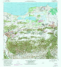
1969 Map of Manati
USGS Topo · Published 1988About this map
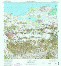
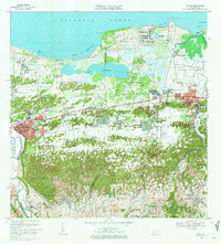
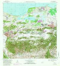
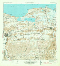
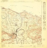
Laguna Tortuguero dominates the northern coastal plain of this 1969 survey, situated between the limestone karst hills of Pugnado Afuera and the Atlantic Ocean. The landscape reflects a transition from traditional agricultural land use to early industrial and military development, evidenced by the presence of a National Guard Reservation and the U. S. Army Military Reservation. Transportation networks here are defined by the Antigua Via del Ferrocarril, marking the former path of the island's coastal railway. Regional hubs like Vega Baja and Pueblo Manati are shown alongside smaller settlements such as Boquillas and Sandin. Notable local infrastructure includes the Planta de Purificación and the Pista de Aterrizaje, while the Rio Grande de Manati and Rio Cibuco frame the eastern and western extents of this coastal corridor.
Find a feature on this map
74 named features on this map. Tap any name to fly to it.
Don’t see what you’re looking for? This feature index may not catch every label — zoom into the map to look around manually.
Map Details
Editions of this 1969 Manati Map
4 editions found
Historical Maps of Vega Baja Through Time
10 maps found

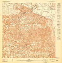
1942 Manati
Manatí Municipio, PR
1946 Manati
Manatí Municipio, PR
1947 Barceloneta SE
Manatí Municipio, PR
1950 Barceloneta NE
Manatí Municipio, PR
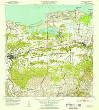
1953 Manati
Manatí Municipio, PR
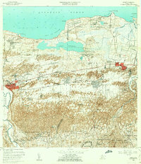
1958 Manati
Manatí Municipio, PR
1969 Manati
Manatí Municipio, PR
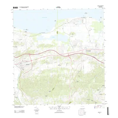
2013 Manati
Manatí Municipio, PR
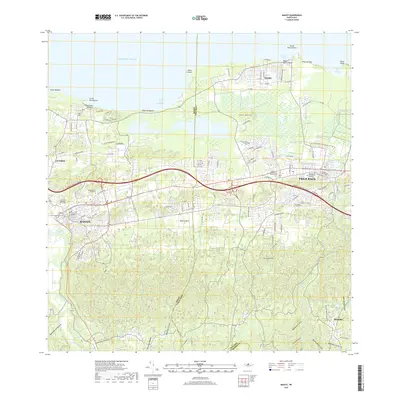
2018 Manati
Manatí Municipio, PR
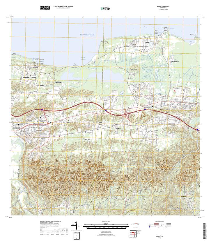
2024 Manati
Manatí Municipio, PR
Featured Locations
- Sector Los Arenas, Vega Baja
- Vega Baja, Vega Baja
- Sabana Seca, Manatí
- Manatí, Manatí
- Reparto Guayaney, Manatí