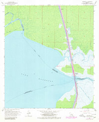
1968 Map of Manchac
USGS Topo · Published 1980About this map
Jones Island and the expansive waters of Lake Maurepas define this landscape, where the delicate balance between the cypress swamps and the navigational waterways is meticulously documented. The Illinois Central railroad corridor serves as the primary spine of human activity, connecting small settlements like Sharkey, Strader, and Galva. Near the center of the pass, Manchac (Akers PO) stands as a vital hub where the rails cross over the water. The map reveals an intricate network of natural and man-made channels, including the Tickfaw River, Natalbany River, and the Fernwood Canal. These waterways were essential for the region's historical transport and drainage, reflecting the complex hydrology of the Tangipahoa Parish and St. John the Baptist Parish boundary areas during the late 1960s and 1970s.
Find a feature on this map
26 named features on this map. Tap any name to fly to it.
Don’t see what you’re looking for? This feature index may not catch every label — zoom into the map to look around manually.
Map Details
Editions of this 1968 Manchac Map
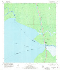
2 editions found
Other maps of this area

1892 · Mount Airy
USGS Topo · 1:62,500

1892 · Bonnet Carre
USGS Topo · 1:62,500

1934 · Springfield
USGS Topo · 1:62,500

1935 · Ponchatoula
USGS Topo · 1:62,500

1936 · Ruddock
USGS Topo · 1:31,680

1936 · Bonnet Carre
USGS Topo · 1:62,500

1939 · Ponchatoula
USGS Topo · 1:62,500

1939 · Springfield
USGS Topo · 1:62,500

1946 · North of Garyville
USGS Topo · 1:31,680

1951 · Ponchatoula
USGS Topo · 1:62,500