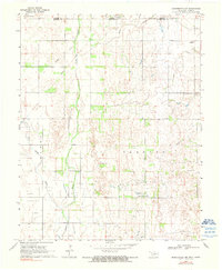
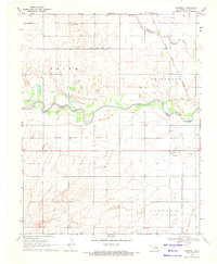
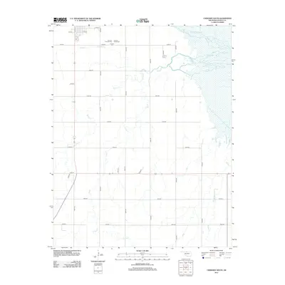
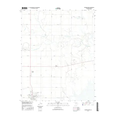
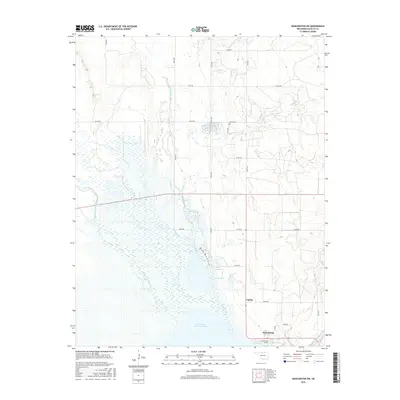
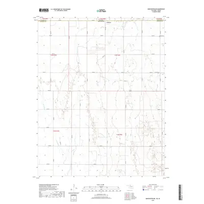
1969 Map of Manchester NW
USGS Topo · Published 1990About this map
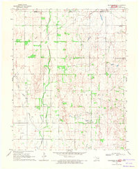
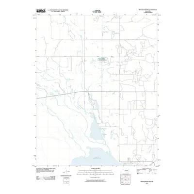
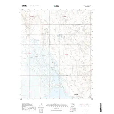
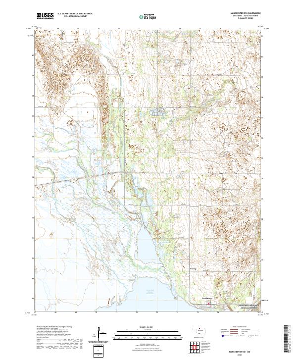
Waldron sits along the northern edge of this landscape, positioned right at the Kansas Oklahoma state line where the plains of Harper and Alfalfa counties meet. The geography is defined by a network of drainage including Sandy Creek, Rush Creek, and Little Sandy Creek, which carve subtle patterns into the agricultural terrain. A significant historical marker of former transportation is the Old Railroad Grade that cuts diagonally across the northern sections, suggesting a corridor of commerce that once connected these rural townships to larger markets.
Find a feature on this map
19 named features on this map. Tap any name to fly to it.
Don’t see what you’re looking for? This feature index may not catch every label — zoom into the map to look around manually.
Map Details
Editions of this 1969 Manchester NW Map
2 editions found
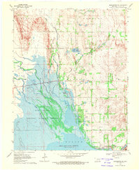
Historical Maps of Waldron Through Time
30 maps found
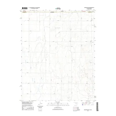
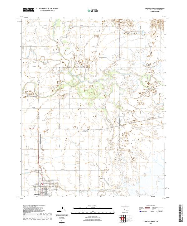
1969 Cherokee North
Alfalfa County, OK
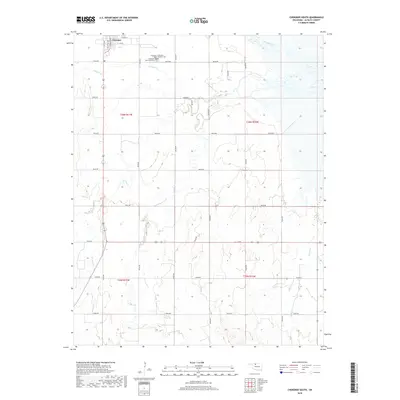
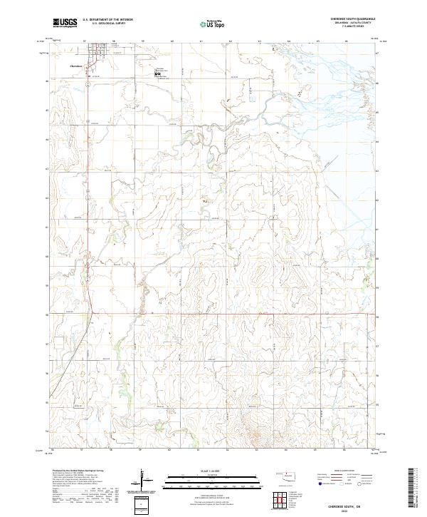
1969 Cherokee South
Alfalfa County, OK
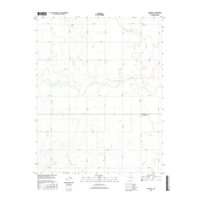
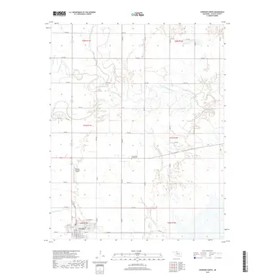
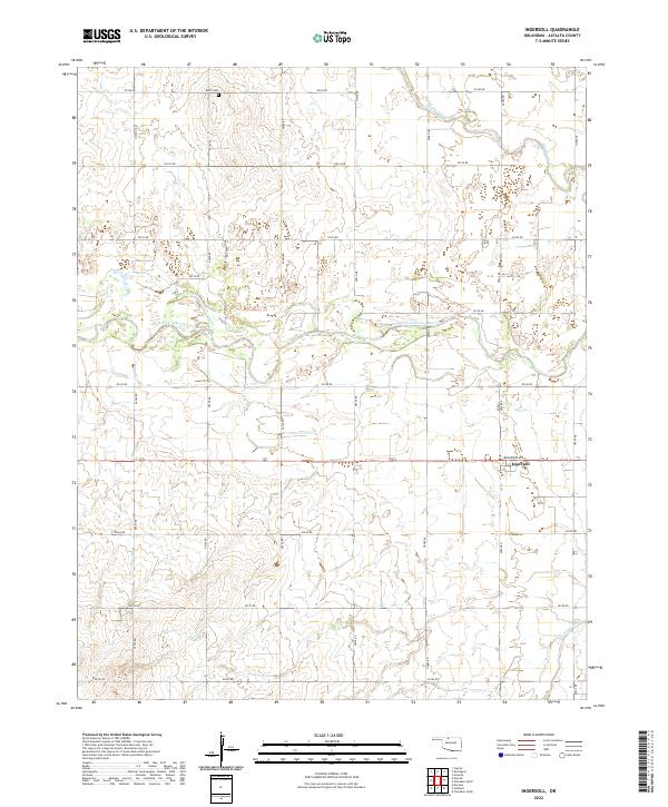
1969 Ingersoll
Alfalfa County, OK
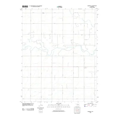
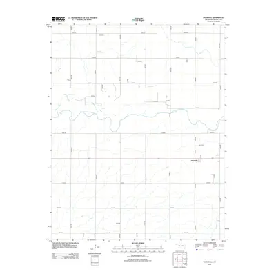
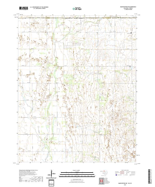
1969 Manchester NW
Alfalfa County, OK
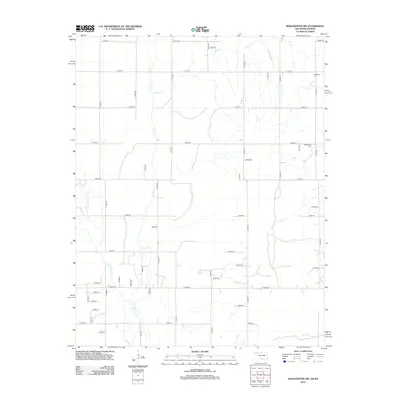
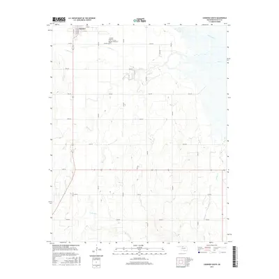
1969 Manchester SW
Alfalfa County, OK
2009 Cherokee North
Alfalfa County, OK
2009 Cherokee South
Alfalfa County, OK
2009 Ingersoll
Alfalfa County, OK
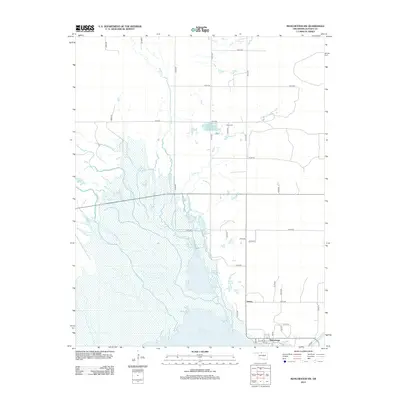
2009 Manchester SW
Alfalfa County, OK
2010 Manchester NW
Alfalfa County, OK
2012 Cherokee North
Alfalfa County, OK
2012 Cherokee South
Alfalfa County, OK
2012 Ingersoll
Alfalfa County, OK
2012 Manchester NW
Alfalfa County, OK
2012 Manchester SW
Alfalfa County, OK
2016 Cherokee North
Alfalfa County, OK
2016 Cherokee South
Alfalfa County, OK
2016 Ingersoll
Alfalfa County, OK
2016 Manchester NW
Alfalfa County, OK
2016 Manchester SW
Alfalfa County, OK
2018 Cherokee North
Alfalfa County, OK
2018 Cherokee South
Alfalfa County, OK
2018 Ingersoll
Alfalfa County, OK
2018 Manchester NW
Alfalfa County, OK
2018 Manchester SW
Alfalfa County, OK
2022 Cherokee North
Alfalfa County, OK
2022 Cherokee South
Alfalfa County, OK
2022 Ingersoll
Alfalfa County, OK
2022 Manchester NW
Alfalfa County, OK
2022 Manchester SW
Alfalfa County, OK