
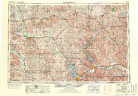
1955 Map of Manhattan
USGS Topo · Published 1964About this map
The Fort Riley Military Reservation dominates the landscape at the confluence of the Republican River and Smoky Hills in the mid-1950s. This survey records a period of significant hydraulic engineering, showcasing the early presence of the Tuttle Creek Reservoir and the Milford Lake area, complete with the Tuttle Creek Dam and Milford Dam. These massive water projects transformed the drainage of the Blue River and Republican River, fundamentally altering the terrain near Manhattan and Junction City.
Find a feature on this map
179 named features on this map. Tap any name to fly to it.
Don’t see what you’re looking for? This feature index may not catch every label — zoom into the map to look around manually.
Map Details
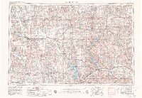
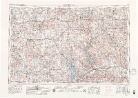
Editions of this 1955 Manhattan Map
4 editions found
Other maps of this area

1885 · Eskridge
USGS Topo · 1:125,000

1886 · Junction City
USGS Topo · 1:125,000

1888 · Hiawatha
USGS Topo · 1:125,000

1889 · Burlingame
USGS Topo · 1:125,000

1889 · Seneca
USGS Topo · 1:125,000

1889 · Wamego
USGS Topo · 1:125,000

1889 · Marysville
USGS Topo · 1:125,000

1889 · Junction City
USGS Topo · 1:125,000

1889 · Abilene
USGS Topo · 1:125,000

1889 · Parkerville
USGS Topo · 1:125,000