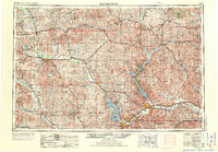
1955 Map of Manhattan
USGS Topo · Published 1973About this map
Manhattan and the expansive Fort Riley Military Reservation anchor this mid-century portrait of northeastern Kansas. The landscape is defined by its major water projects, featuring the newly established Tuttle Creek Reservoir and Milford Reservoir, which transformed the valleys of the Big Blue River and Republican River. For the local historian, the map preserves the exact alignment of the Laramie Trail as it crossed this prairie terrain, alongside an intricate network of competing rail lines including the Union Pacific RR and the Missouri Pacific RR.
Find a feature on this map
143 named features on this map. Tap any name to fly to it.
Don’t see what you’re looking for? This feature index may not catch every label — zoom into the map to look around manually.
Map Details
Editions of this 1955 Manhattan Map
4 editions found

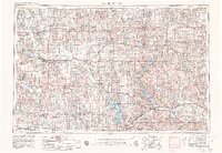
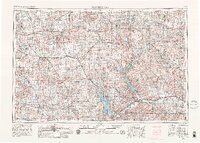
Other maps of this area

1885 · Eskridge
USGS Topo · 1:125,000

1886 · Junction City
USGS Topo · 1:125,000

1888 · Hiawatha
USGS Topo · 1:125,000

1889 · Burlingame
USGS Topo · 1:125,000

1889 · Seneca
USGS Topo · 1:125,000

1889 · Wamego
USGS Topo · 1:125,000

1889 · Marysville
USGS Topo · 1:125,000

1889 · Junction City
USGS Topo · 1:125,000

1889 · Abilene
USGS Topo · 1:125,000

1889 · Parkerville
USGS Topo · 1:125,000