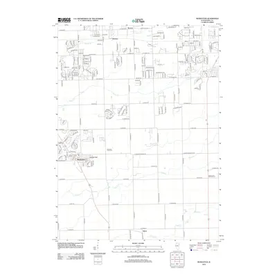
2012 Map of Manhattan
USGS Topo · Published 2012About this map
Manhattan serves as the primary hub of this northern Illinois landscape, showing its residential expansion into neighborhoods like Century East by the early 21st century. The map documents a transition from the structured street grids of the town center to the sprawling suburban developments and long-standing agricultural plots of Will County. A network of local drainage follows the natural paths of Jackson Cr and Prairie Cr, which wind through the open acreage between established settlements. Genealogists will find the locations of three distinct burial grounds: Saint Joseph Cem, Manhattan Center Cem, and the more remote Green Garden Methodist Cem to the southeast. The area is also defined by its historical infrastructure, including the Old Plank Dr in the north near Brisbane and the small southern community of Wilton near the banks of Forked Cr.
Find a feature on this map
184 named features on this map. Tap any name to fly to it.
Don’t see what you’re looking for? This feature index may not catch every label — zoom into the map to look around manually.
Map Details
Editions of this 2012 Manhattan Map
This is the sole edition of this map. No revisions or reprints were ever made.
Other maps of this area

1890 · Des Plaines
USGS Topo · 1:62,500

1892 · Joliet
USGS Topo · 1:62,500

1892 · Wilmington
USGS Topo · 1:62,500

1894 · Des Plaines
USGS Topo · 1:62,500

1900 · Des Plaines
USGS Topo · 1:62,500

1901 · Des Plaines
USGS Topo · 1:62,500

1918 · Wilmington
USGS Topo · 1:62,500

1923 · Joliet
USGS Topo · 1:62,500

1929 · Tinley Park
USGS Topo · 1:24,000

1929 · Brisbane
USGS Topo · 1:24,000