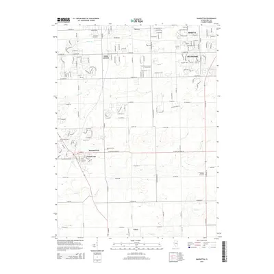
2015 Map of Manhattan
USGS Topo · Published 2015About this map
Manhattan and its surrounding Will County settlements are defined by a rhythmic grid of rural roads and emerging residential developments. The area between New Lenox, Mokena, and Frankfort shows a landscape in transition, where traditional farmland meets expanding suburban corridors. Significant local landmarks include Saint Joseph Cem and the Manhattan Center Cem, which provide clear points of reference for genealogical research.
Find a feature on this map
160 named features on this map. Tap any name to fly to it.
Don’t see what you’re looking for? This feature index may not catch every label — zoom into the map to look around manually.
Map Details
Editions of this 2015 Manhattan Map
This is the sole edition of this map. No revisions or reprints were ever made.
Other maps of this area

1890 · Des Plaines
USGS Topo · 1:62,500

1892 · Joliet
USGS Topo · 1:62,500

1892 · Wilmington
USGS Topo · 1:62,500

1894 · Des Plaines
USGS Topo · 1:62,500

1900 · Des Plaines
USGS Topo · 1:62,500

1901 · Des Plaines
USGS Topo · 1:62,500

1918 · Wilmington
USGS Topo · 1:62,500

1923 · Joliet
USGS Topo · 1:62,500

1929 · Tinley Park
USGS Topo · 1:24,000

1929 · Brisbane
USGS Topo · 1:24,000