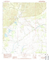
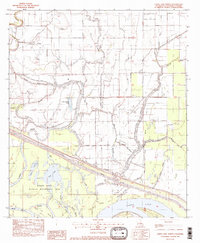
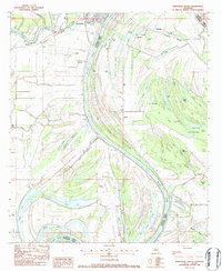
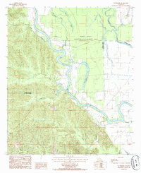
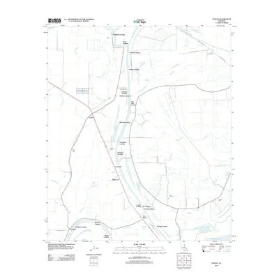
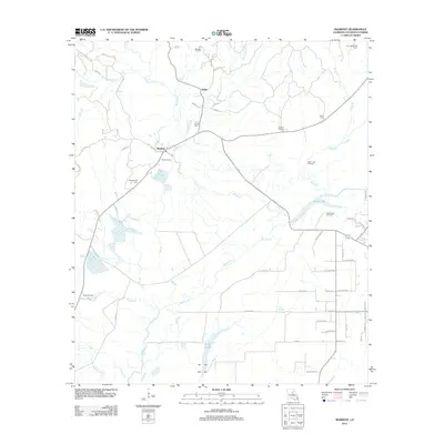
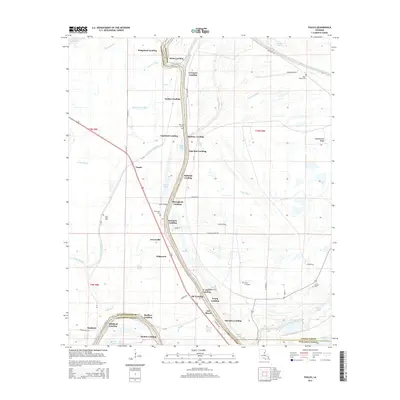
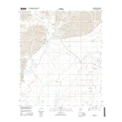
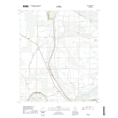
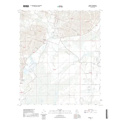
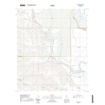
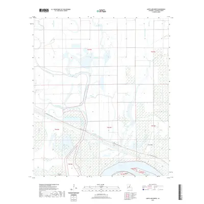
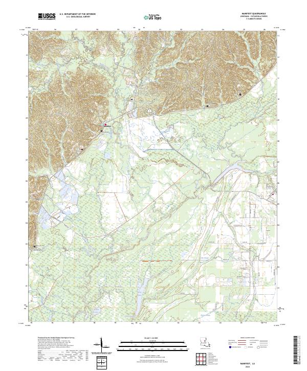
1983 Map of Manifest
USGS Topo · Published 1984About this map
Manifest and the surrounding Catahoula Parish landscape are defined by an intricate network of bayous, brakes, and sloughs in the early 1980s. The settlement at Manifest includes the Manifest Sch and several family burial grounds, such as the Huffman Cem and Heard Cem, which provide valuable location data for genealogists. The terrain is dominated by water features including Sandy Lake, Long Lake, and Thomas Brake, alongside an extensive series of Minnow Ponds and levees that suggest a local focus on aquaculture or water management.
Find a feature on this map
40 named features on this map. Tap any name to fly to it.
Don’t see what you’re looking for? This feature index may not catch every label — zoom into the map to look around manually.
Map Details
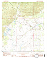
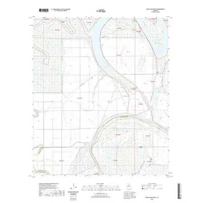
Editions of this 1983 Manifest Map
2 editions found
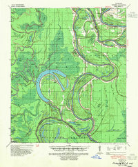
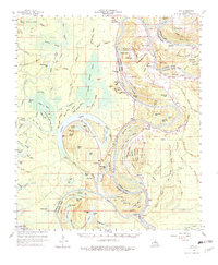
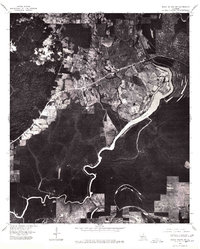
Historical Maps of Webb Through Time
60 maps found

1935 Tooleys
Catahoula Parish, LA

1941 Manifest
Catahoula Parish, LA
1941 Tooleys
Catahoula Parish, LA
1960 Eva
Catahoula Parish, LA
1976 Sicily Island SW
Catahoula Parish, LA
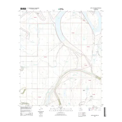
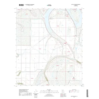
1982 Larto Lake North
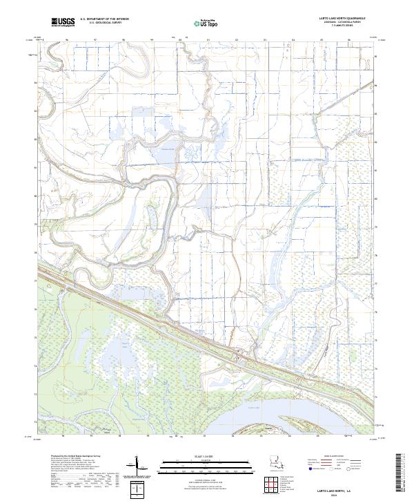
Catahoula Parish, LA
1982 Larto Lake South
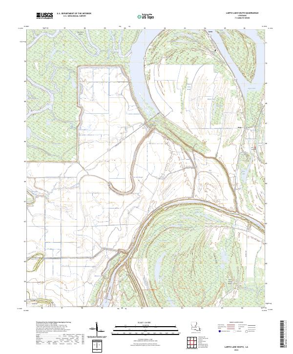
Catahoula Parish, LA
1983 Foules
Catahoula Parish, LA
1983 Jonesville North
Catahoula Parish, LA
1983 Jonesville South
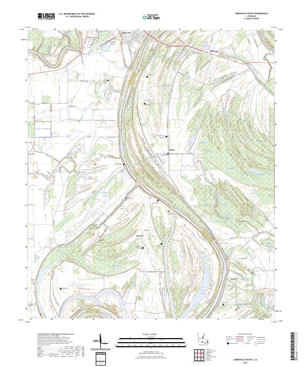
Catahoula Parish, LA
1983 Manifest
Catahoula Parish, LA
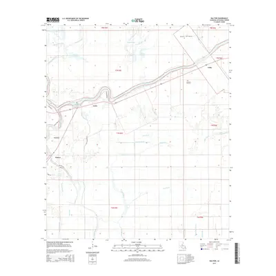
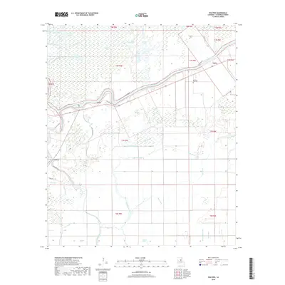
1983 Walters
Catahoula Parish, LA
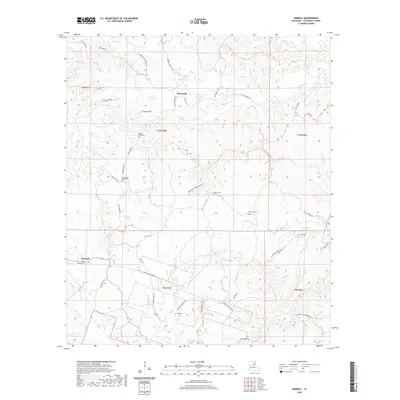
1984 Aimwell
Catahoula Parish, LA
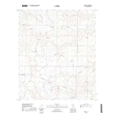
1984 Enterprise
Catahoula Parish, LA
1995 Walters
Catahoula Parish, LA
2012 Aimwell
Catahoula Parish, LA
2012 Enterprise
Catahoula Parish, LA
2012 Foules
Catahoula Parish, LA

2012 Jonesville North
Catahoula Parish, LA
2012 Jonesville South
Catahoula Parish, LA
2012 Larto Lake North
Catahoula Parish, LA
2012 Larto Lake South
Catahoula Parish, LA
2012 Manifest
Catahoula Parish, LA
2012 Walters
Catahoula Parish, LA
2015 Aimwell
Catahoula Parish, LA
2015 Enterprise
Catahoula Parish, LA
2015 Foules
Catahoula Parish, LA
2015 Jonesville North
Catahoula Parish, LA
2015 Jonesville South
Catahoula Parish, LA
2015 Larto Lake North
Catahoula Parish, LA
2015 Larto Lake South
Catahoula Parish, LA
2015 Manifest
Catahoula Parish, LA
2015 Walters
Catahoula Parish, LA
2018 Aimwell
Catahoula Parish, LA

2018 Enterprise
Catahoula Parish, LA
2018 Foules
Catahoula Parish, LA
2018 Jonesville North
Catahoula Parish, LA
2018 Jonesville South
Catahoula Parish, LA
2018 Larto Lake North
Catahoula Parish, LA
2018 Larto Lake South
Catahoula Parish, LA
2018 Manifest
Catahoula Parish, LA
2018 Walters
Catahoula Parish, LA
2020 Aimwell
Catahoula Parish, LA
2020 Enterprise
Catahoula Parish, LA
2020 Foules
Catahoula Parish, LA
2020 Jonesville North
Catahoula Parish, LA
2020 Jonesville South
Catahoula Parish, LA
2020 Larto Lake North
Catahoula Parish, LA
2020 Larto Lake South
Catahoula Parish, LA
2020 Manifest
Catahoula Parish, LA
2020 Walters
Catahoula Parish, LA
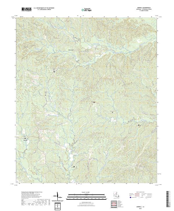
2024 Aimwell
Catahoula Parish, LA
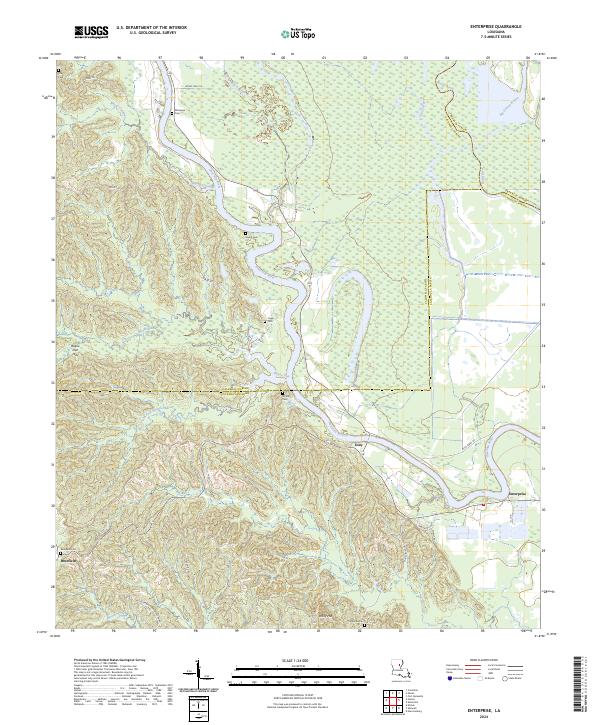
2024 Enterprise
Catahoula Parish, LA
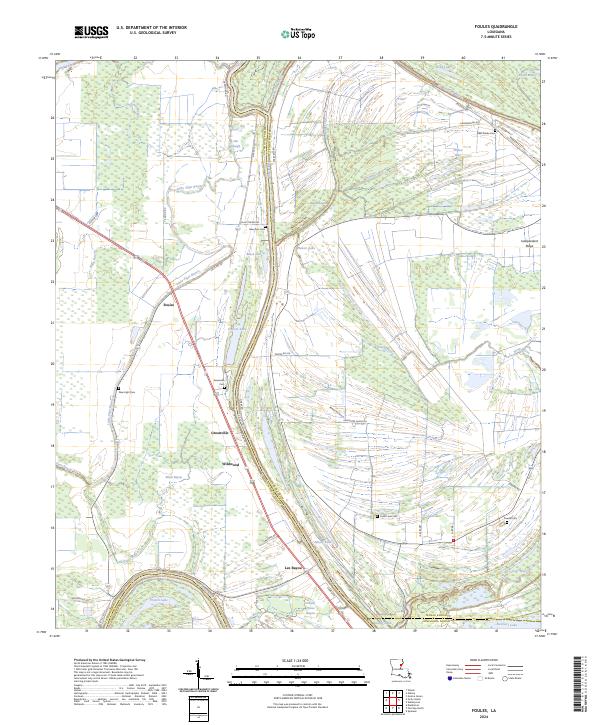
2024 Foules
Catahoula Parish, LA
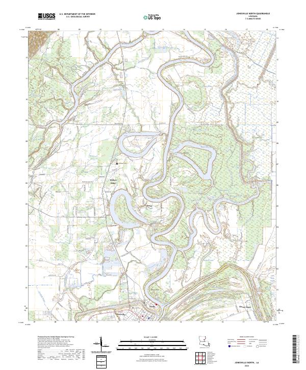
2024 Jonesville North
Catahoula Parish, LA
2024 Jonesville South
Catahoula Parish, LA
2024 Larto Lake North
Catahoula Parish, LA
2024 Larto Lake South
Catahoula Parish, LA
2024 Manifest
Catahoula Parish, LA
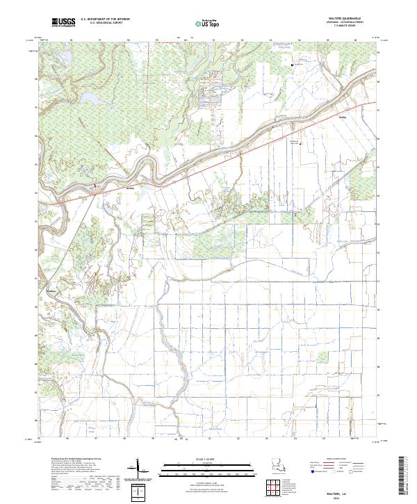
2024 Walters
Catahoula Parish, LA