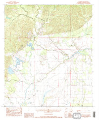
1983 Map of Manifest
USGS Topo · Published 1984About this map
Manifest serves as the central hub of this Catahoula Parish landscape, where the flat alluvial plains of the south meet the rising, dissected terrain of the north. The area's social fabric is anchored by landmarks like the Manifest Sch and several family burial grounds, including the Heard Cem and Huffman Cem. Water dominates the southern half of the sheet, where an intricate network of lakes and bayous like Sandy Lake and Long Lake are managed by a series of levees and spoil banks.
Find a feature on this map
40 named features on this map. Tap any name to fly to it.
Don’t see what you’re looking for? This feature index may not catch every label — zoom into the map to look around manually.
Map Details
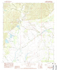
Editions of this 1983 Manifest Map
2 editions found
Other maps of this area

1941 · Manifest
USGS Topo · 1:62,500

1941 · Jena
USGS Topo · 1:62,500

1941 · Harrisonburg
USGS Topo · 1:62,500

1953 · Alexandria
USGS Topo · 1:250,000

1953 · Natchez
USGS Topo · 1:250,000

1955 · Alexandria
USGS Topo · 1:250,000

1955 · Olla
USGS Topo · 1:62,500

1956 · Natchez
USGS Topo · 1:250,000

1958 · Jena
USGS Topo · 1:62,500

1959 · Natchez
USGS Topo · 1:250,000