
1932 Map of Manito
USGS Topo · Published 1932About this map
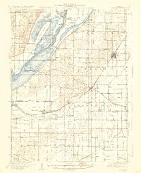
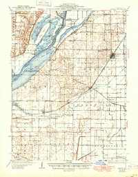
The Illinois River corridor in the early 1930s is defined by a complex network of backwater lakes and drainage projects, where the Chicago and Illinois Midland and Chicago and North Western railroads cross the lowlands. Settlements like Manito and Forest City serve as hubs for an agricultural landscape meticulously divided by systems such as the Quiver Ditch and Main Ditch. This era shows the river bottom before modern transformations, featuring specialized landmarks like the Mink Island Hunting Club and the Spring Lake Elevator No 2 near Radville.
Find a feature on this map
97 named features on this map. Tap any name to fly to it.
Don’t see what you’re looking for? This feature index may not catch every label — zoom into the map to look around manually.
Map Details
Editions of this 1932 Manito Map
3 editions found
Other maps of this area

1905 · Peoria
USGS Topo · 1:62,500

1912 · Canton
USGS Topo · 1:62,500

1925 · Havana
USGS Topo · 1:62,500

1927 · Peoria
USGS Topo · 1:62,500

1929 · Manito
USGS Topo · 1:62,500

1930 · Chandlerville
USGS Topo · 1:62,500

1930 · Glasford
USGS Topo · 1:62,500

1932 · Chandlerville
USGS Topo · 1:62,500

1933 · Petersburg
USGS Topo · 1:62,500

1938 · Petersburg
USGS Topo · 1:62,500