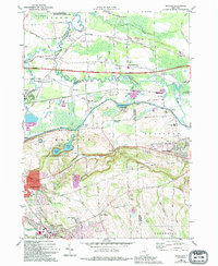
1973 Map of Manlius
USGS Topo · Published 1994About this map
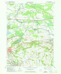
Green Lakes State Park and the historic route of the Old Erie Canal State Park anchor the landscape of Onondaga County in the early 1970s. The map illustrates a region in transition, where established village centers like Fayetteville and Manlius sit alongside post-war developments, indicated by numerous trailer parks and golf courses. The northern portion is dominated by the marshy expanse of the Cicero Swamp State Wildlife Management Area, while the central corridor is bisected by the New York State Thruway and the Conrail lines. Local genealogy and history are preserved in the locations of Pine Plains Cem and St Agnes Cem, alongside long-standing rural junctions such as Fyler Settlement and Weaver Corner. The presence of a large Quarry and various Gravel Pits reflects the area's ongoing industrial extraction activities.
Find a feature on this map
51 named features on this map. Tap any name to fly to it.
Don’t see what you’re looking for? This feature index may not catch every label — zoom into the map to look around manually.
Map Details
Editions of this 1973 Manlius Map
4 editions found
Other maps of this area

1895 · Chittenango
USGS Topo · 1:62,500

1895 · Syracuse
USGS Topo · 1:62,500

1897 · Cazenovia
USGS Topo · 1:62,500

1898 · Syracuse
USGS Topo · 1:62,500

1898 · Chittenango
USGS Topo · 1:62,500

1899 · Cazenovia
USGS Topo · 1:62,500

1900 · Tully
USGS Topo · 1:62,500

1902 · Chittenango
USGS Topo · 1:62,500

1938 · Syracuse East
USGS Topo · 1:24,000

1940 · Cicero
USGS Topo · 1:24,000