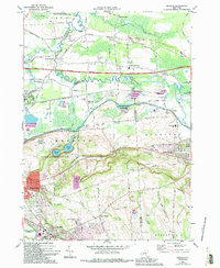
1973 Map of Manlius
USGS Topo · Published 1994About this map
Chittenango Creek meanders through the heart of this Onondaga County landscape, tracing the boundary between the towns of Manlius and Sullivan. The map documents the persistent legacy of the Old Erie Canal, which parallels the modern New York State Thruway, illustrating the evolution of New York's primary transport corridor. In the southern half, the distinct glacial topography of Green Lakes State Park protects the deep waters of Green Lake and Round Lake, while the expanding residential footprints of Fayetteville and the village of Manlius reflect the late 20th-century growth of the Syracuse suburbs. Smaller, historically distinct clusters like Fyler Settlement, Peck Corners, and Eagle Village remain identifiable amidst the broader development. Educational and community sites, including the Bolivar Road Sch and St James Cem, anchor the local history of these evolving townships.
Find a feature on this map
46 named features on this map. Tap any name to fly to it.
Don’t see what you’re looking for? This feature index may not catch every label — zoom into the map to look around manually.
Map Details
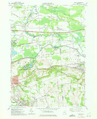
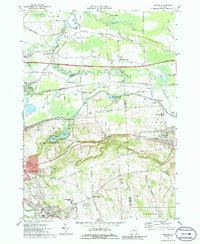
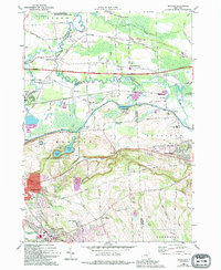
Editions of this 1973 Manlius Map
4 editions found
Other maps of this area

1895 · Chittenango
USGS Topo · 1:62,500

1895 · Syracuse
USGS Topo · 1:62,500

1897 · Cazenovia
USGS Topo · 1:62,500

1898 · Syracuse
USGS Topo · 1:62,500

1898 · Chittenango
USGS Topo · 1:62,500

1899 · Cazenovia
USGS Topo · 1:62,500

1900 · Tully
USGS Topo · 1:62,500

1902 · Chittenango
USGS Topo · 1:62,500

1938 · Syracuse East
USGS Topo · 1:24,000

1940 · Cicero
USGS Topo · 1:24,000