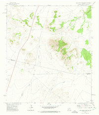
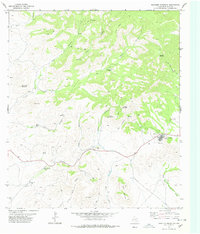
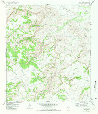
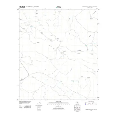
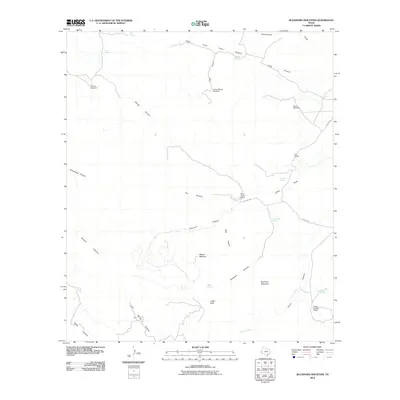
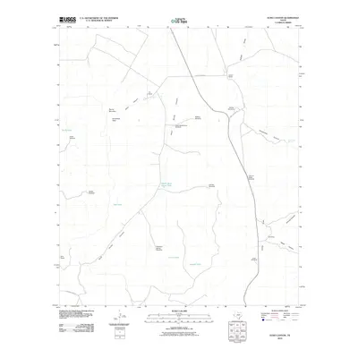
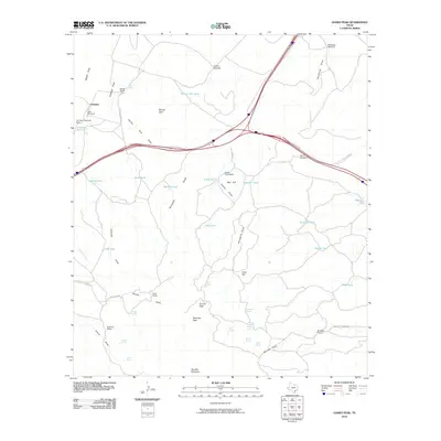
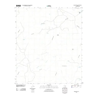
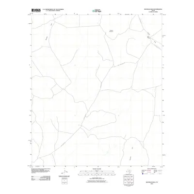
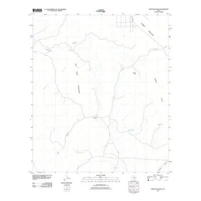
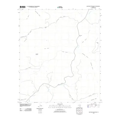
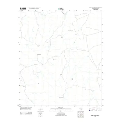
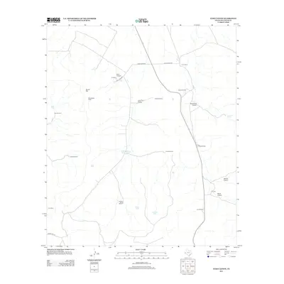
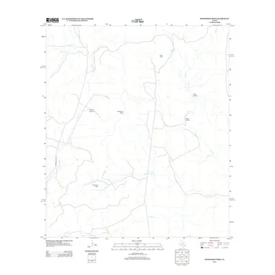
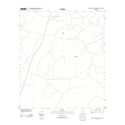
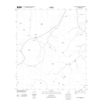
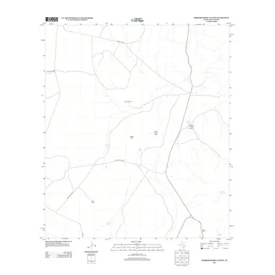
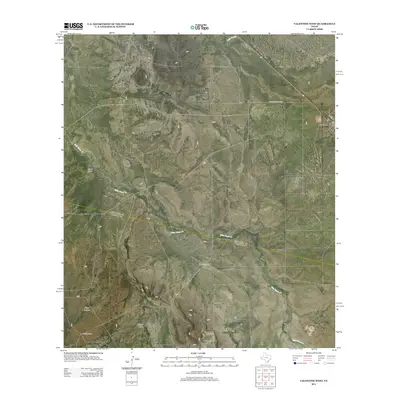
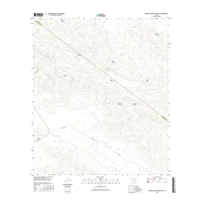
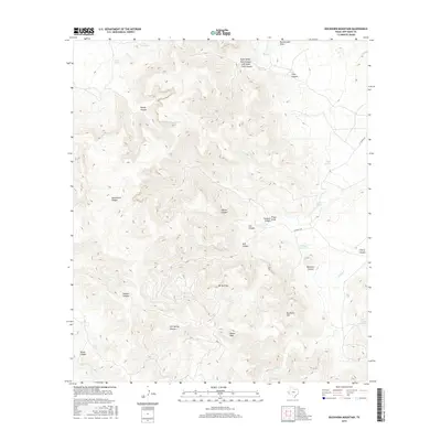
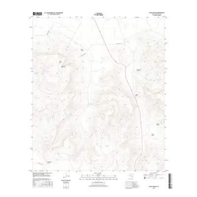
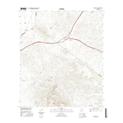
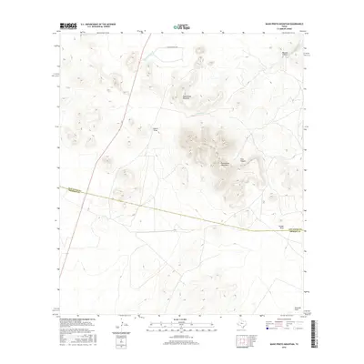
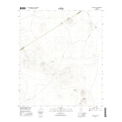
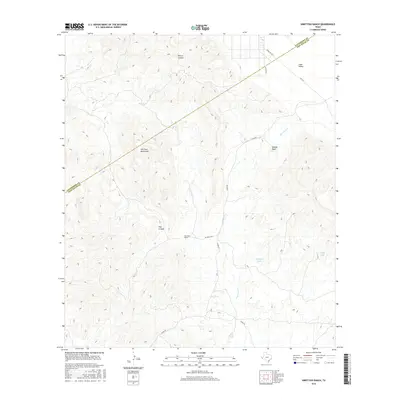
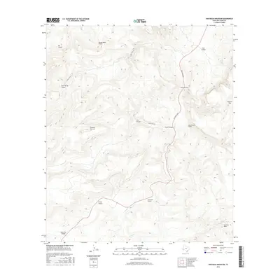
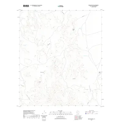
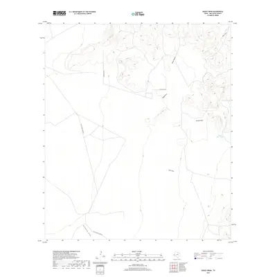
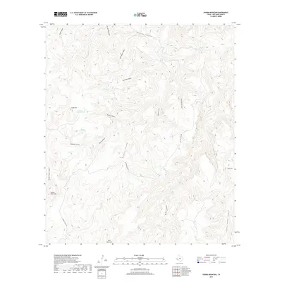
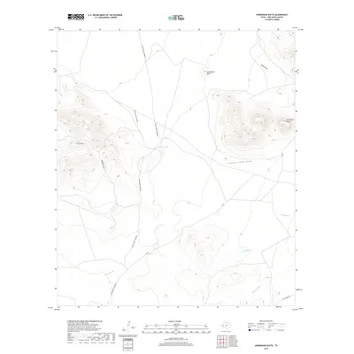
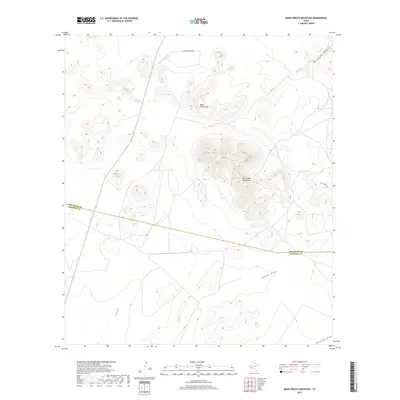
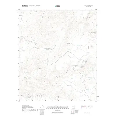
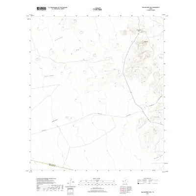
1972 Map of Mano Prieto Mountain
USGS Topo · Published 1975About this map
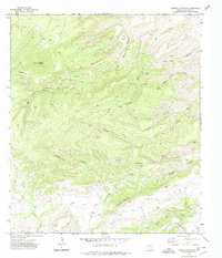
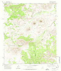
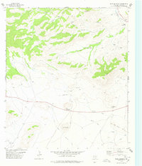
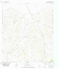
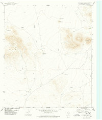
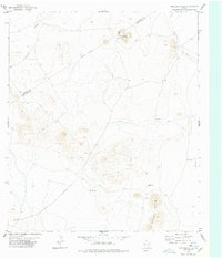
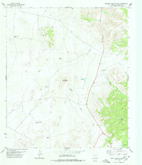
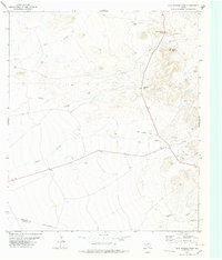
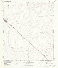
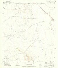
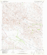
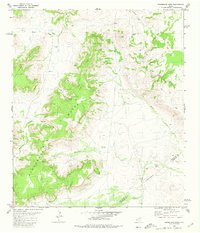
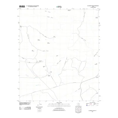
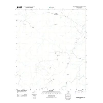
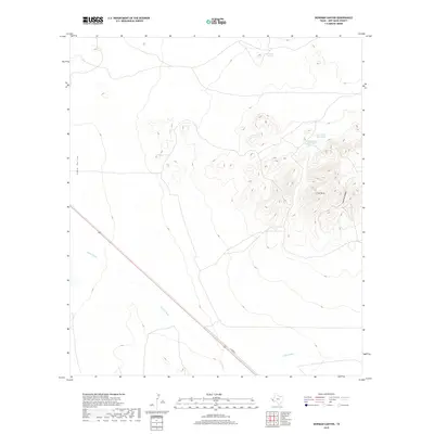
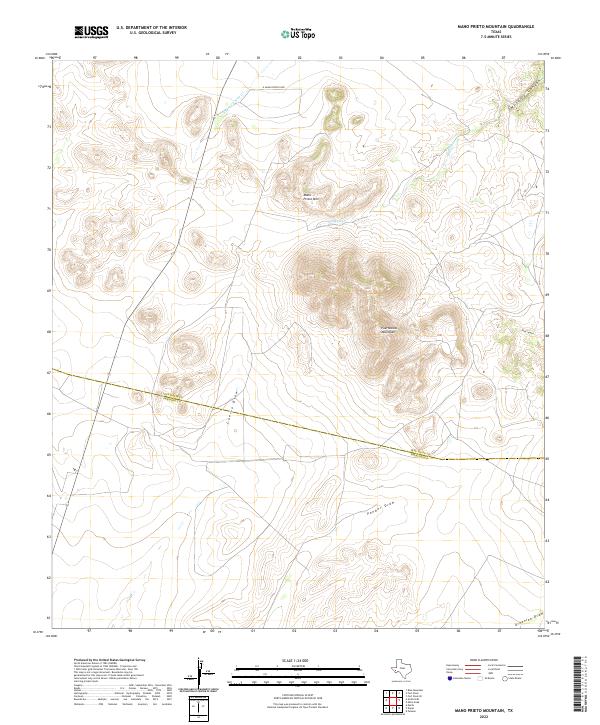
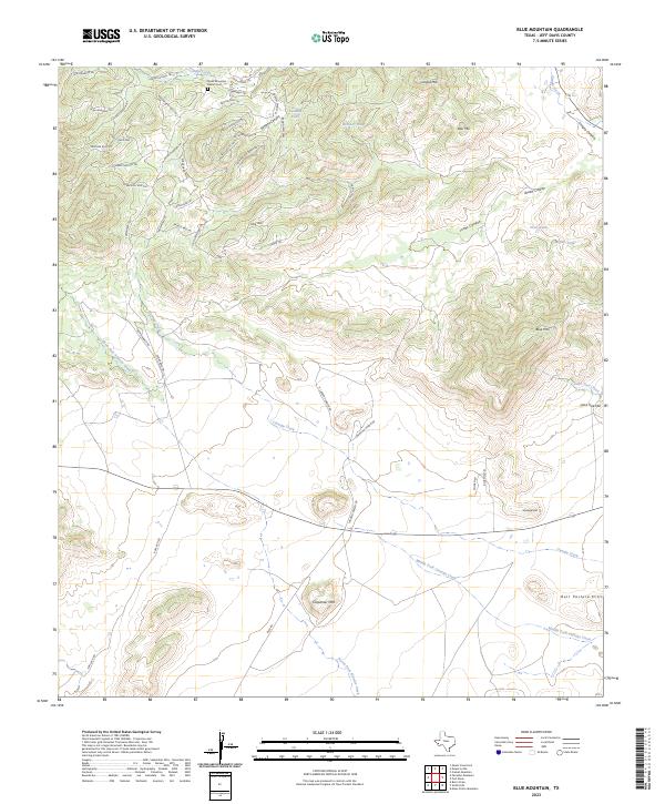
Mano Prieto Mountain dominates this landscape in the Trans-Pecos region, where high desert elevations meet the southern reaches of the Puertacitas Mountains. The 1971 aerial survey captures a terrain defined by complex drainage systems, including the northeast flow of Musquiz Creek through Musquiz Canyon and the winding course of the South Fork Cienega Creek. The border between Jeff Davis and Presidio Counties cuts across the lower half of the sheet, providing a precise reference for those researching land ownership and property lines in this remote high-altitude ranching country. Human activity is sparse but notable, marked by the long lines of a Pipeline and several isolated Gravel Pits. The presence of deep incisions like Pine Canyon and the expansive Cuervo Draw reflects the geologic forces that shaped this corner of West Texas before the era of modern development.
Find a feature on this map
13 named features on this map. Tap any name to fly to it.
Don’t see what you’re looking for? This feature index may not catch every label — zoom into the map to look around manually.
Map Details
Editions of this 1972 Mano Prieto Mountain Map
This is the sole edition of this map. No revisions or reprints were ever made.
Historical Maps of Presidio County Through Time
199 maps found
1970 Gomez Peak
Jeff Davis County, TX
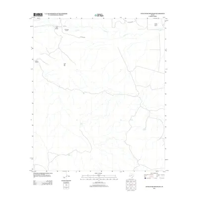
1972 Antelope Flat
Jeff Davis County, TX
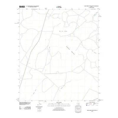
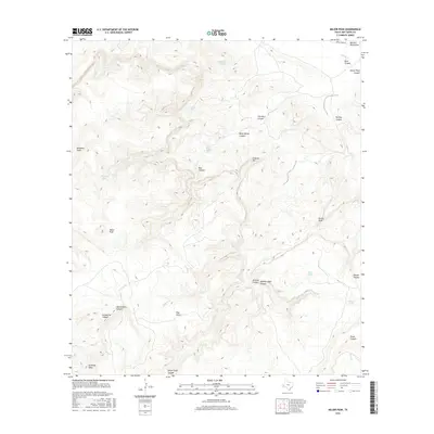
1972 Big Aguja Mountain
Jeff Davis County, TX
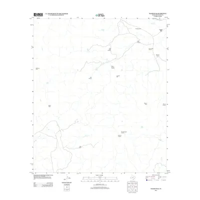
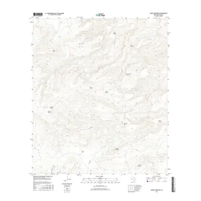
1972 Casket Mountain
Jeff Davis County, TX
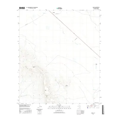
1972 Chispa
Jeff Davis County, TX
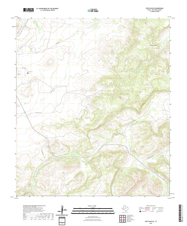
1972 Fort Davis SE
Jeff Davis County, TX
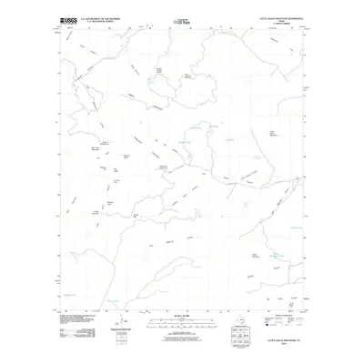
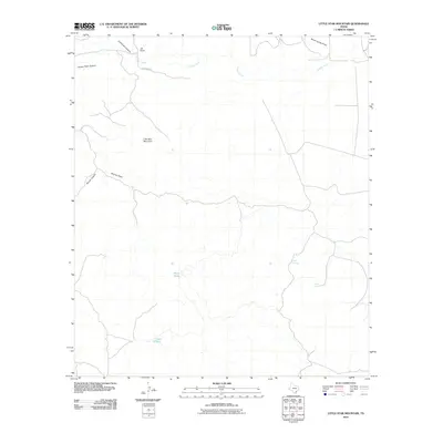
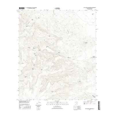
1972 Little Aguja Mountain
Jeff Davis County, TX
1972 Mano Prieto Mountain
Jeff Davis County, TX
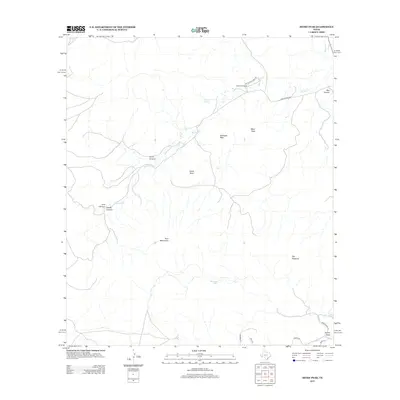
1972 Mitre Peak
Jeff Davis County, TX
1972 Ninetysix Ranch
Jeff Davis County, TX
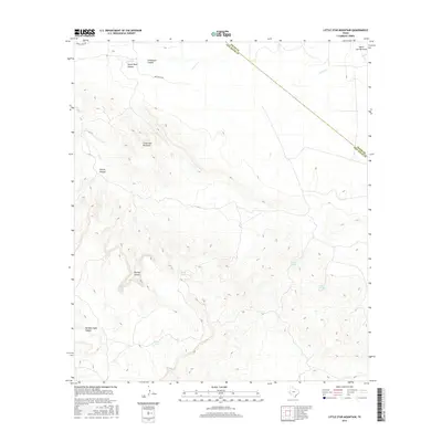
1972 Swayback Mountain
Jeff Davis County, TX
1978 Bare Mountain
Jeff Davis County, TX
1978 Blue Mountain
Jeff Davis County, TX
1978 Boggy Draw
Jeff Davis County, TX
1978 Buckhorn Mountain
Jeff Davis County, TX
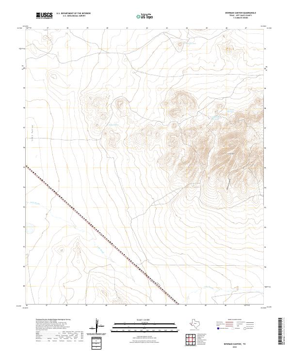
1978 Dowman Canyon
Jeff Davis County, TX
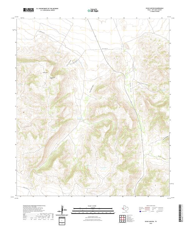
1978 Echo Canyon
Jeff Davis County, TX
1978 El Muerto Peak
Jeff Davis County, TX
1978 Friend Mountain
Jeff Davis County, TX
1978 Herds Pass
Jeff Davis County, TX
1978 Horseshoe Butte
Jeff Davis County, TX
1978 Mayfield Hills
Jeff Davis County, TX
1978 Mount Livermore
Jeff Davis County, TX
1978 Mount Locke
Jeff Davis County, TX
1978 Paradise Mountain
Jeff Davis County, TX
1978 Robbers Roost Canyon
Jeff Davis County, TX
1978 San Antonio Pass
Jeff Davis County, TX
1978 Valentine East
Jeff Davis County, TX
1978 Valentine West
Jeff Davis County, TX
1980 Barrilla Mountains West
Jeff Davis County, TX
1980 Henderson Mesa
Jeff Davis County, TX
1980 Little Star Mountain
Jeff Davis County, TX
1980 Major Peak
Jeff Davis County, TX
1985 Mount Livermore
Jeff Davis County, TX
2010 Antelope Flat
Jeff Davis County, TX
2010 Bare Mountain
Jeff Davis County, TX
2010 Barrilla Mountains West
Jeff Davis County, TX
2010 Big Aguja Mountain
Jeff Davis County, TX
2010 Blue Mountain
Jeff Davis County, TX
2010 Boggy Draw
Jeff Davis County, TX
2010 Buckhorn Mountain
Jeff Davis County, TX
2010 Casket Mountain
Jeff Davis County, TX
2010 Chispa
Jeff Davis County, TX
2010 Dowman Canyon
Jeff Davis County, TX
2010 Echo Canyon
Jeff Davis County, TX
2010 El Muerto Peak
Jeff Davis County, TX
2010 Fort Davis SE
Jeff Davis County, TX
2010 Friend Mountain
Jeff Davis County, TX
2010 Gomez Peak
Jeff Davis County, TX
2010 Henderson Mesa
Jeff Davis County, TX
2010 Herds Pass
Jeff Davis County, TX
2010 Horseshoe Butte
Jeff Davis County, TX
2010 Little Aguja Mountain
Jeff Davis County, TX
2010 Little Star Mountain
Jeff Davis County, TX
2010 Major Peak
Jeff Davis County, TX
2010 Mano Prieto Mountain
Jeff Davis County, TX
2010 Mayfield Hills
Jeff Davis County, TX
2010 Mitre Peak
Jeff Davis County, TX
2010 Mount Livermore
Jeff Davis County, TX
2010 Mount Locke
Jeff Davis County, TX
2010 Ninetysix Ranch
Jeff Davis County, TX
2010 Paradise Mountain
Jeff Davis County, TX
2010 Robbers Roost Canyon
Jeff Davis County, TX
2010 San Antonio Pass
Jeff Davis County, TX
2010 Swayback Mountain
Jeff Davis County, TX
2010 Valentine East
Jeff Davis County, TX
2010 Valentine West
Jeff Davis County, TX
2012 Antelope Flat
Jeff Davis County, TX
2012 Bare Mountain
Jeff Davis County, TX

2012 Barrilla Mountains West
Jeff Davis County, TX
2012 Big Aguja Mountain
Jeff Davis County, TX
2012 Blue Mountain
Jeff Davis County, TX
2012 Boggy Draw
Jeff Davis County, TX
2012 Buckhorn Mountain
Jeff Davis County, TX
2012 Casket Mountain
Jeff Davis County, TX
2012 Chispa
Jeff Davis County, TX
2012 Dowman Canyon
Jeff Davis County, TX
2012 Echo Canyon
Jeff Davis County, TX
2012 El Muerto Peak
Jeff Davis County, TX
2012 Fort Davis SE
Jeff Davis County, TX
2012 Friend Mountain
Jeff Davis County, TX
2012 Henderson Mesa
Jeff Davis County, TX
2012 Herds Pass
Jeff Davis County, TX
2012 Horseshoe Butte
Jeff Davis County, TX
2012 Little Aguja Mountain
Jeff Davis County, TX
2012 Little Star Mountain
Jeff Davis County, TX
2012 Major Peak
Jeff Davis County, TX
2012 Mano Prieto Mountain
Jeff Davis County, TX

2012 Mayfield Hills
Jeff Davis County, TX
2012 Mitre Peak
Jeff Davis County, TX
2012 Mount Livermore
Jeff Davis County, TX
2012 Mount Locke
Jeff Davis County, TX
2012 Ninetysix Ranch
Jeff Davis County, TX
2012 Paradise Mountain
Jeff Davis County, TX
2012 Robbers Roost Canyon
Jeff Davis County, TX
2012 San Antonio Pass
Jeff Davis County, TX
2012 Swayback Mountain
Jeff Davis County, TX
2012 Valentine East
Jeff Davis County, TX
2012 Valentine West
Jeff Davis County, TX
2013 Gomez Peak
Jeff Davis County, TX
2016 Antelope Flat
Jeff Davis County, TX
2016 Bare Mountain
Jeff Davis County, TX
2016 Barrilla Mountains West
Jeff Davis County, TX
2016 Big Aguja Mountain
Jeff Davis County, TX
2016 Blue Mountain
Jeff Davis County, TX
2016 Boggy Draw
Jeff Davis County, TX
2016 Buckhorn Mountain
Jeff Davis County, TX
2016 Casket Mountain
Jeff Davis County, TX
2016 Chispa
Jeff Davis County, TX
2016 Dowman Canyon
Jeff Davis County, TX
2016 Echo Canyon
Jeff Davis County, TX
2016 El Muerto Peak
Jeff Davis County, TX
2016 Fort Davis SE
Jeff Davis County, TX
2016 Friend Mountain
Jeff Davis County, TX
2016 Gomez Peak
Jeff Davis County, TX
2016 Henderson Mesa
Jeff Davis County, TX
2016 Herds Pass
Jeff Davis County, TX
2016 Horseshoe Butte
Jeff Davis County, TX
2016 Little Aguja Mountain
Jeff Davis County, TX
2016 Little Star Mountain
Jeff Davis County, TX
2016 Major Peak
Jeff Davis County, TX
2016 Mano Prieto Mountain
Jeff Davis County, TX
2016 Mayfield Hills
Jeff Davis County, TX
2016 Mitre Peak
Jeff Davis County, TX
2016 Mount Livermore
Jeff Davis County, TX
2016 Mount Locke
Jeff Davis County, TX
2016 Ninetysix Ranch
Jeff Davis County, TX
2016 Paradise Mountain
Jeff Davis County, TX
2016 Robbers Roost Canyon
Jeff Davis County, TX
2016 San Antonio Pass
Jeff Davis County, TX
2016 Swayback Mountain
Jeff Davis County, TX
2016 Valentine East
Jeff Davis County, TX
2016 Valentine West
Jeff Davis County, TX
2019 Antelope Flat
Jeff Davis County, TX
2019 Bare Mountain
Jeff Davis County, TX
2019 Barrilla Mountains West
Jeff Davis County, TX
2019 Big Aguja Mountain
Jeff Davis County, TX
2019 Blue Mountain
Jeff Davis County, TX
2019 Boggy Draw
Jeff Davis County, TX
2019 Buckhorn Mountain
Jeff Davis County, TX
2019 Casket Mountain
Jeff Davis County, TX
2019 Chispa
Jeff Davis County, TX
2019 Dowman Canyon
Jeff Davis County, TX
2019 Echo Canyon
Jeff Davis County, TX
2019 El Muerto Peak
Jeff Davis County, TX
2019 Fort Davis SE
Jeff Davis County, TX
2019 Friend Mountain
Jeff Davis County, TX
2019 Gomez Peak
Jeff Davis County, TX
2019 Henderson Mesa
Jeff Davis County, TX
2019 Herds Pass
Jeff Davis County, TX
2019 Horseshoe Butte
Jeff Davis County, TX
2019 Little Aguja Mountain
Jeff Davis County, TX
2019 Little Star Mountain
Jeff Davis County, TX
2019 Major Peak
Jeff Davis County, TX
2019 Mano Prieto Mountain
Jeff Davis County, TX
2019 Mayfield Hills
Jeff Davis County, TX
2019 Mitre Peak
Jeff Davis County, TX
2019 Mount Livermore
Jeff Davis County, TX
2019 Mount Locke
Jeff Davis County, TX
2019 Ninetysix Ranch
Jeff Davis County, TX
2019 Paradise Mountain
Jeff Davis County, TX
2019 Robbers Roost Canyon
Jeff Davis County, TX
2019 San Antonio Pass
Jeff Davis County, TX
2019 Swayback Mountain
Jeff Davis County, TX
2019 Valentine East
Jeff Davis County, TX
2019 Valentine West
Jeff Davis County, TX
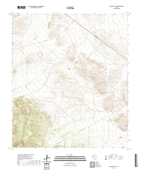
2022 Antelope Flat
Jeff Davis County, TX
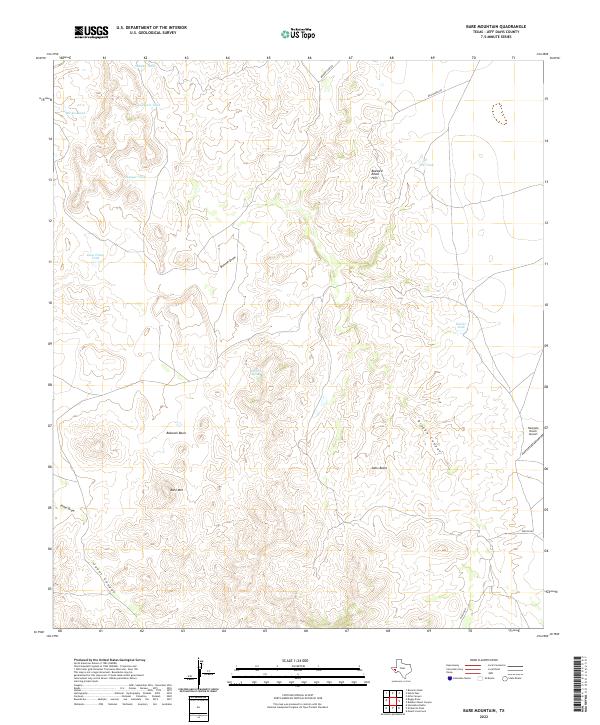
2022 Bare Mountain
Jeff Davis County, TX
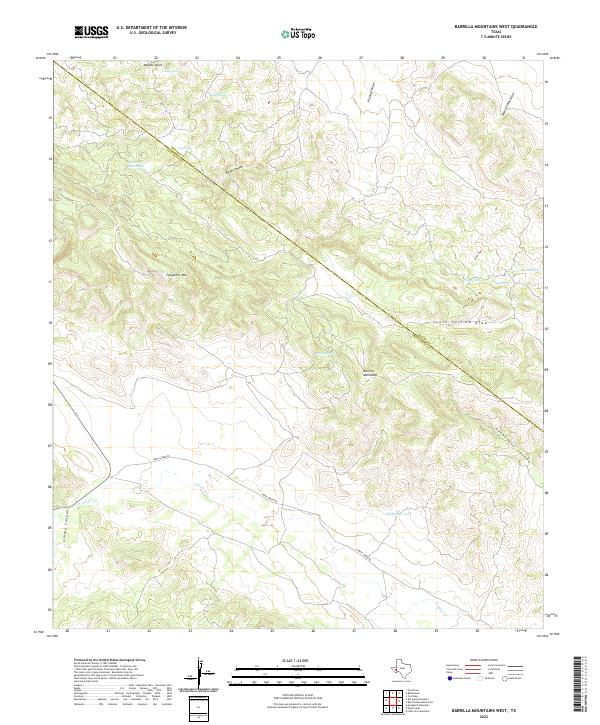
2022 Barrilla Mountains West
Jeff Davis County, TX
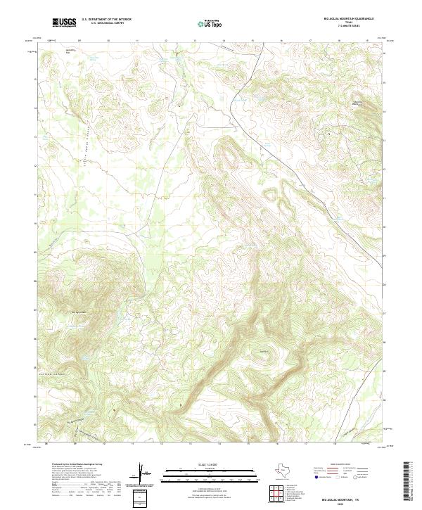
2022 Big Aguja Mountain
Jeff Davis County, TX
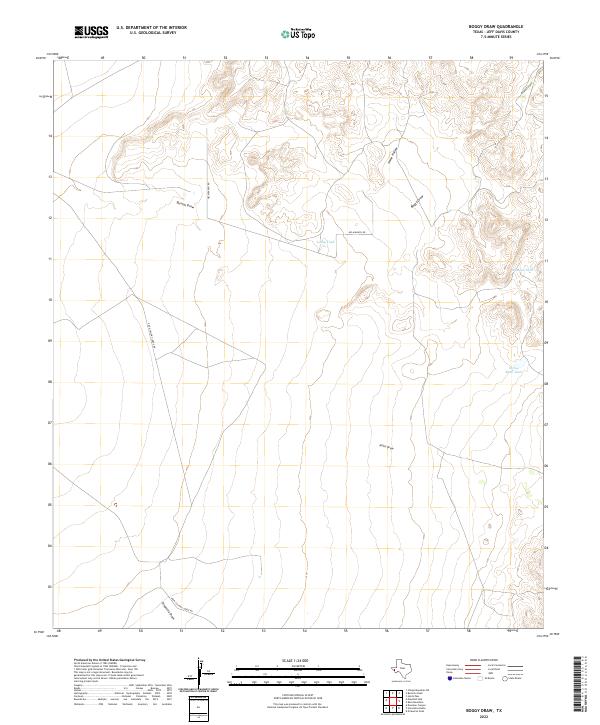
2022 Boggy Draw
Jeff Davis County, TX
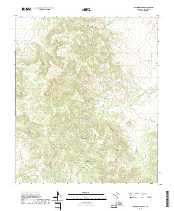
2022 Buckhorn Mountain
Jeff Davis County, TX
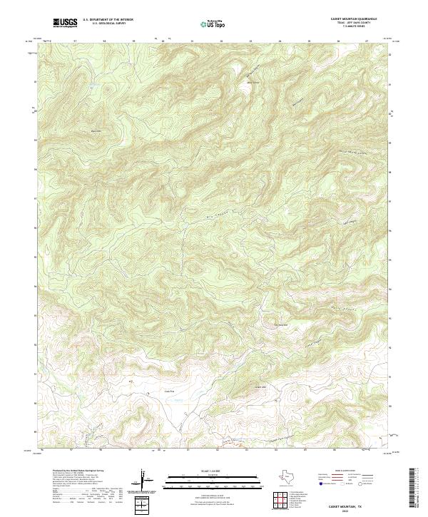
2022 Casket Mountain
Jeff Davis County, TX
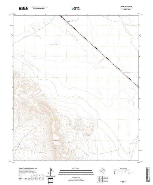
2022 Chispa
Jeff Davis County, TX
2022 Dowman Canyon
Jeff Davis County, TX
2022 Echo Canyon
Jeff Davis County, TX
2022 El Muerto Peak
Jeff Davis County, TX
2022 Fort Davis SE
Jeff Davis County, TX
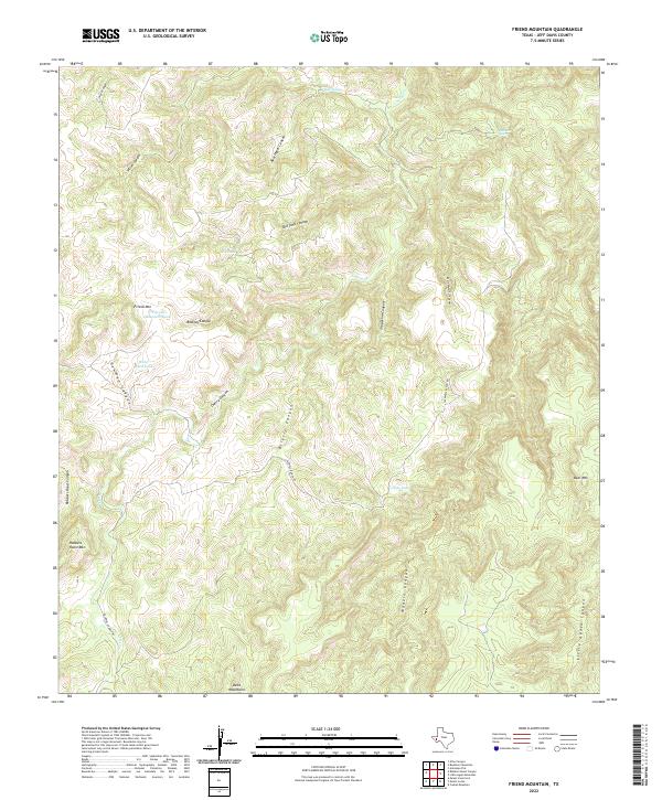
2022 Friend Mountain
Jeff Davis County, TX
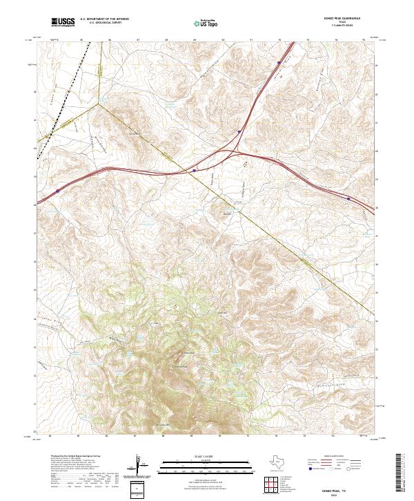
2022 Gomez Peak
Jeff Davis County, TX
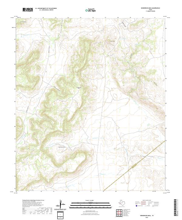
2022 Henderson Mesa
Jeff Davis County, TX
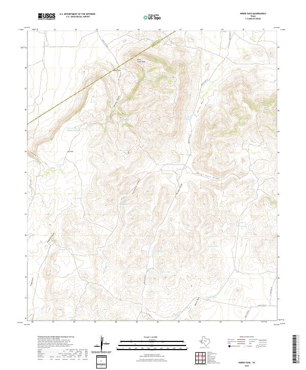
2022 Herds Pass
Jeff Davis County, TX
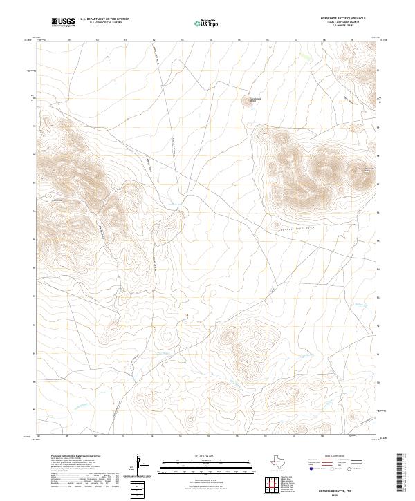
2022 Horseshoe Butte
Jeff Davis County, TX
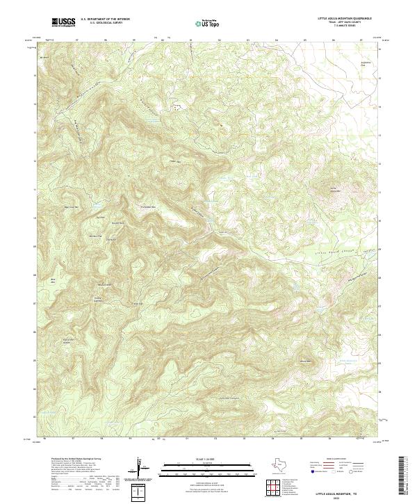
2022 Little Aguja Mountain
Jeff Davis County, TX
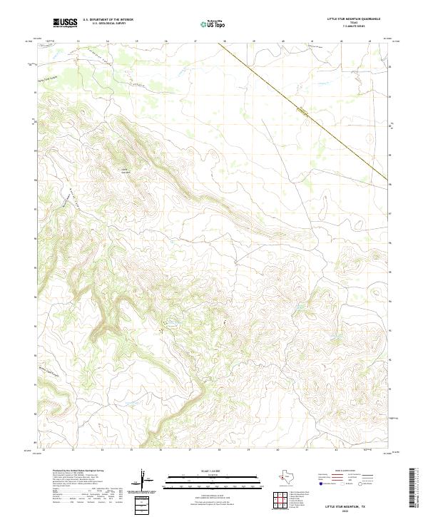
2022 Little Star Mountain
Jeff Davis County, TX
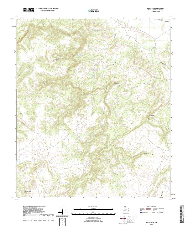
2022 Major Peak
Jeff Davis County, TX
2022 Mano Prieto Mountain
Jeff Davis County, TX
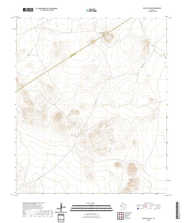
2022 Mayfield Hills
Jeff Davis County, TX
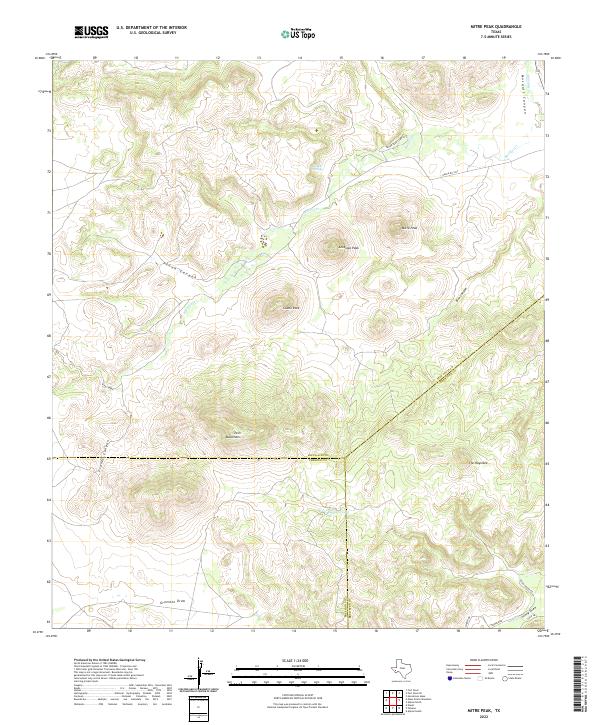
2022 Mitre Peak
Jeff Davis County, TX
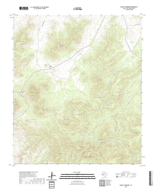
2022 Mount Livermore
Jeff Davis County, TX
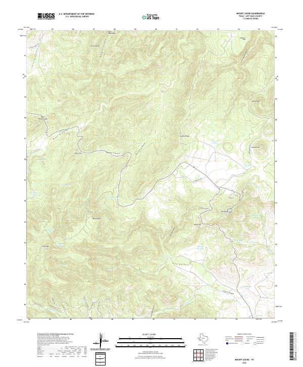
2022 Mount Locke
Jeff Davis County, TX
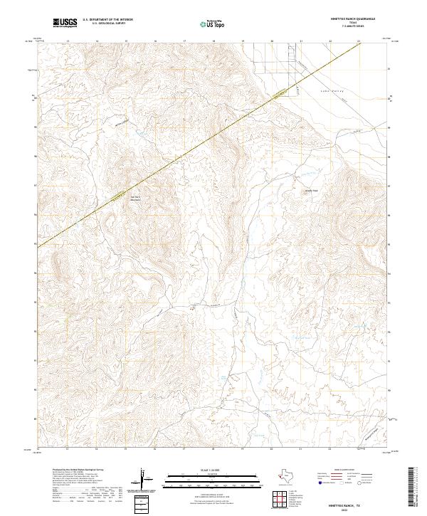
2022 Ninetysix Ranch
Jeff Davis County, TX
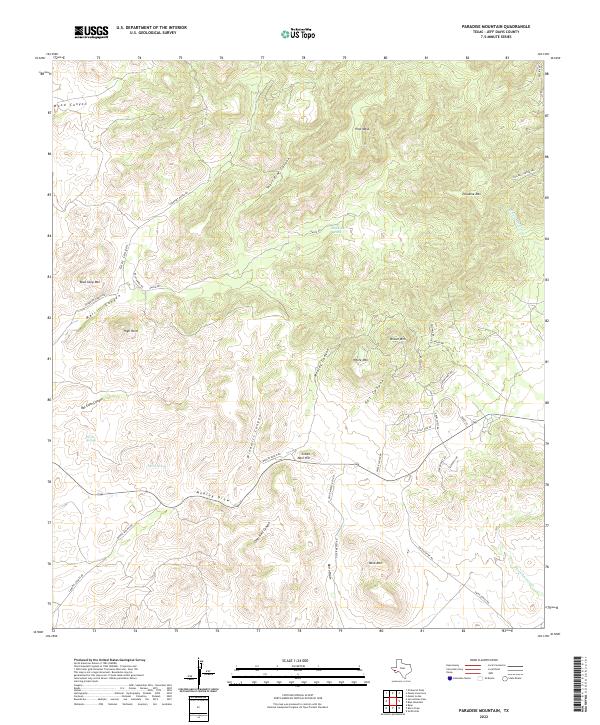
2022 Paradise Mountain
Jeff Davis County, TX
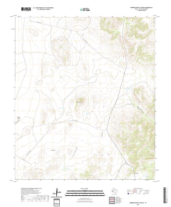
2022 Robbers Roost Canyon
Jeff Davis County, TX
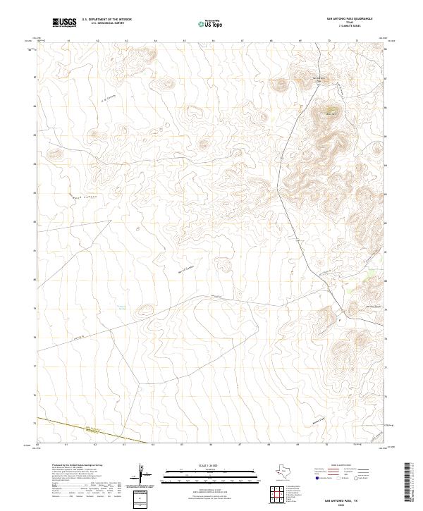
2022 San Antonio Pass
Jeff Davis County, TX
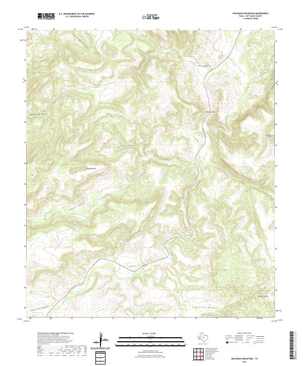
2022 Swayback Mountain
Jeff Davis County, TX
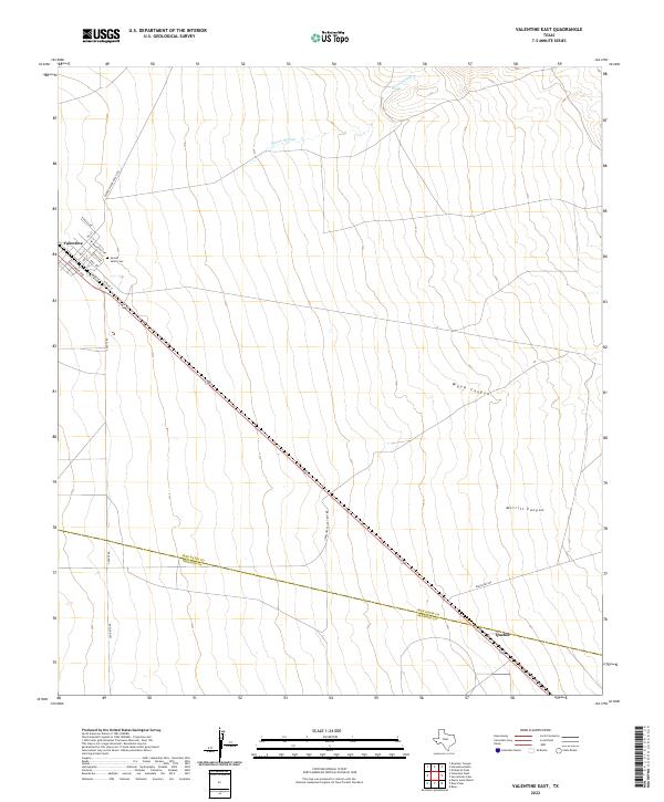
2022 Valentine East
Jeff Davis County, TX
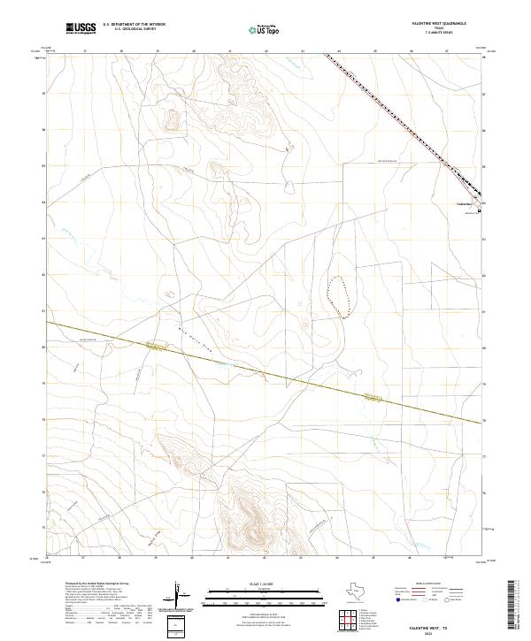
2022 Valentine West
Jeff Davis County, TX
2023 Blue Mountain
Jeff Davis County, TX