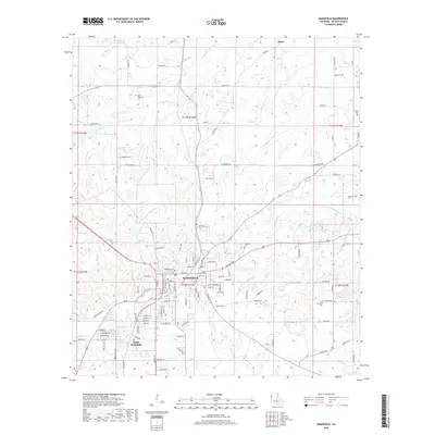
2018 Map of Mansfield
USGS Topo · Published 2018About this map
Mansfield serves as the central hub of this DeSoto Parish landscape, where the Kansas City Southern Ry cuts through the terrain alongside the neighboring community of South Mansfield. The area is defined by a dense network of waterways including Bayou Na Bonchasse and Siphorien Bayou, which navigate a complex system of ponds such as Nabors Pond, Frost Pond, and Logan Pond.
Find a feature on this map
118 named features on this map. Tap any name to fly to it.
Don’t see what you’re looking for? This feature index may not catch every label — zoom into the map to look around manually.
Map Details
Editions of this 2018 Mansfield Map
This is the sole edition of this map. No revisions or reprints were ever made.
Other maps of this area
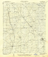
1941 · Pelican
USGS Topo · 1:62,500
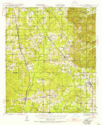
1943 · Pleasant Hill
USGS Topo · 1:62,500
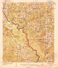
1944 · Logansport
USGS Topo · 1:62,500
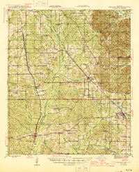
1944 · Pleasant Hill
USGS Topo · 1:62,500
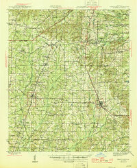
1945 · Grand Cane
USGS Topo · 1:62,500
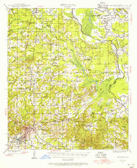
1945 · Mansfield
USGS Topo · 1:62,500
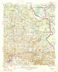
1947 · Mansfield
USGS Topo · 1:62,500

1953 · Alexandria
USGS Topo · 1:250,000

1955 · Shreveport
USGS Topo · 1:250,000

1955 · Alexandria
USGS Topo · 1:250,000