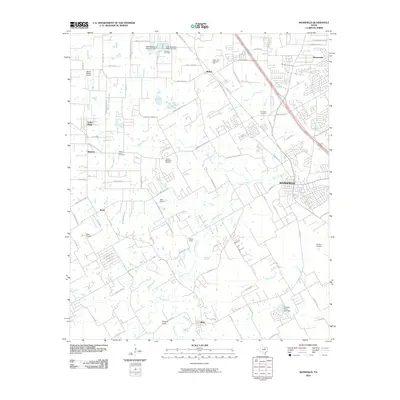
2010 Map of Mansfield
USGS Topo · Published 2010About this map
Mansfield and the surrounding North Texas landscape exhibit a dense network of suburban development and rural heritage in the early 21st century. The terrain is defined by the winding course of Walnut Creek, which cuts a path toward the southeast, joined by numerous tributaries including Hogpen Branch, Willow Branch, and Valley Branch. These waterways serve as the primary topographical markers in a region increasingly shaped by residential growth and aviation. The area is notable for its high concentration of private airfields, including Alpine Range Airport, Hess Airport, Retta Airport, and Flying L Airpark, reflecting the local aviation culture.
Find a feature on this map
94 named features on this map. Tap any name to fly to it.
Don’t see what you’re looking for? This feature index may not catch every label — zoom into the map to look around manually.
Map Details
Editions of this 2010 Mansfield Map
This is the sole edition of this map. No revisions or reprints were ever made.
Other maps of this area

1891 · Cleburne
USGS Topo · 1:125,000

1894 · Cleburne
USGS Topo · 1:125,000

1894 · Fort Worth
USGS Topo · 1:125,000

1954 · Dallas
USGS Topo · 1:250,000

1955 · Burleson
USGS Topo · 1:24,000

1955 · Fort Worth
USGS Topo · 1:24,000

1958 · Dallas
USGS Topo · 1:250,000

1959 · Kennedale
USGS Topo · 1:24,000

1959 · Arlington
USGS Topo · 1:24,000

1959 · Britton
USGS Topo · 1:24,000