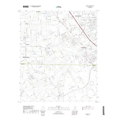
2019 Map of Mansfield
USGS Topo · Published 2019About this map
The boundary between Tarrant Co Johnson Co defines the southern reach of this suburban and rural landscape between Mansfield and Fort Worth. High-density residential developments in Arlington and Watsonville contrast with the open fields and scattered airfields further south, such as Retta Airport and the Flying L Airpark. The area's history is preserved in small, scattered burial grounds like Hudson Cem and the Cope Cemetary, which sit alongside modern memorial sites like Skyvue Memorial Gardens.
Find a feature on this map
256 named features on this map. Tap any name to fly to it.
Don’t see what you’re looking for? This feature index may not catch every label — zoom into the map to look around manually.
Map Details
Editions of this 2019 Mansfield Map
This is the sole edition of this map. No revisions or reprints were ever made.
Other maps of this area

1891 · Cleburne
USGS Topo · 1:125,000

1894 · Cleburne
USGS Topo · 1:125,000

1894 · Fort Worth
USGS Topo · 1:125,000

1954 · Dallas
USGS Topo · 1:250,000

1955 · Burleson
USGS Topo · 1:24,000

1955 · Fort Worth
USGS Topo · 1:24,000

1958 · Dallas
USGS Topo · 1:250,000

1959 · Kennedale
USGS Topo · 1:24,000

1959 · Arlington
USGS Topo · 1:24,000

1959 · Britton
USGS Topo · 1:24,000