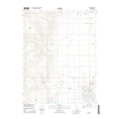
2014 Map of Manti
USGS Topo · Published 2014About this map
The San Pitch Mountains rise sharply above the Sanpete Valley in this detailed 2014 survey. The city of Manti is established along the eastern edge of the valley, centered around the historic grid where Temple Hill serves as a prominent local landmark. The survey illustrates the critical water infrastructure supporting the region's agricultural life, including the San Pitch River, S Cr, and the Gunnison Reservoir to the south.
Find a feature on this map
89 named features on this map. Tap any name to fly to it.
Don’t see what you’re looking for? This feature index may not catch every label — zoom into the map to look around manually.
Map Details
Editions of this 2014 Manti Map
This is the sole edition of this map. No revisions or reprints were ever made.
Other maps of this area

1885 · Manti
USGS Topo · 1:250,000

1895 · Manti
USGS Topo · 1:250,000

1956 · Price
USGS Topo · 1:250,000

1960 · Price
USGS Topo · 1:250,000

1962 · Price
USGS Topo · 1:250,000

1965 · Chriss Canyon
USGS Topo · 1:24,000

1965 · Hells Kitchen Canyon SE
USGS Topo · 1:24,000

1965 · Manti
USGS Topo · 1:24,000

1965 · Wales
USGS Topo · 1:24,000

1965 · Black Mountain
USGS Topo · 1:24,000