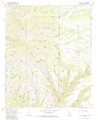
1967 Map of Maple Peak
USGS Topo · Published 1985About this map
Apache National Forest and Gila National Forest dominate this high-elevation landscape along the border of Arizona New Mexico. The terrain is defined by a dense network of canyons and mesas, including the prominent Maple Peak and Charlie Moore Mtn. Water sources are critical in this environment, evidenced by a high concentration of cattle tanks and springs such as Cookstove Tank, Webster Hole Tank, and the uniquely named Do Nothing Tank. The map reveals the infrastructure of late 1960s ranching and backcountry transit, with the Coalson Ranch and Smoothing Iron Camp serving as focal points for activity. The presence of a lone Grave in Coalson Canyon and named features like Morris Day Gap and Bullard Draw suggest a long history of family operations in these canyons, where Pack Trail and Jeep Trail routes provide the primary means of traversal through Buzzard Canyon and Devils Den.
Find a feature on this map
79 named features on this map. Tap any name to fly to it.
Don’t see what you’re looking for? This feature index may not catch every label — zoom into the map to look around manually.
Map Details
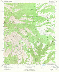
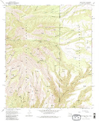
Editions of this 1967 Maple Peak Map
3 editions found
Other maps of this area

1910 · Mogollon
USGS Topo · 1:125,000

1912 · Mogollon
USGS Topo · 1:125,000

1913 · Morenci
USGS Topo · 1:125,000

1915 · Morenci
USGS Topo · 1:125,000

1954 · Clifton
USGS Topo · 1:250,000

1957 · Clifton
USGS Topo · 1:250,000

1958 · Clifton
USGS Topo · 1:250,000

1962 · Clifton
USGS Topo · 1:250,000

1962 · Big Lue Mts
USGS Topo · 1:62,500
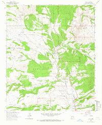
1963 · Alma
USGS Topo · 1:24,000