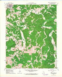
1963 Map of Maramec Spring
USGS Topo · Published 1964About this map
Meramec Spring and its surrounding landscape reveal a rich intersection of natural landmarks and early Missouri industry during the early 1960s. The site of the Old Iron Furnace sits near the spring, marking the historical importance of mineral extraction in this corner of the Ozarks. To the northwest, the settlement of St James is shown in detail, including the Masonic Cemetery and the Boys Town of Missouri campus. The terrain is defined by the winding course of the Dry Fork and Meramec River, which carve through the land alongside features like Natural Bridge and Marcellus Cave. Higher elevations are marked by the Asher Lookout Tower and the prominent Knobview. Scattered family burial grounds, including Hawkins Cem and Adams Cem, provide valuable data for those tracing local lineages near the rural outpost of Earle.
Find a feature on this map
30 named features on this map. Tap any name to fly to it.
Don’t see what you’re looking for? This feature index may not catch every label — zoom into the map to look around manually.
Map Details
Editions of this 1963 Maramec Spring Map
4 editions found
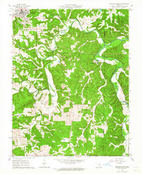
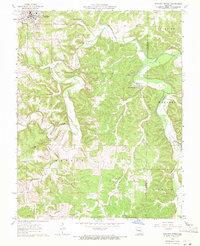
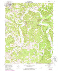
Other maps of this area

1903 · Sullivan
USGS Topo · 1:125,000

1928 · Meramec Spring
USGS Topo · 1:62,500

1932 · Steelville
USGS Topo · 1:48,000

1933 · Steelville
USGS Topo · 1:62,500

1934 · Redbird
USGS Topo · 1:62,500

1937 · Steelville
USGS Topo · 1:62,500

1938 · Redbird
USGS Topo · 1:62,500

1948 · Cuba
USGS Topo · 1:24,000

1949 · Saint Louis
USGS Topo · 1:250,000

1949 · Rolla
USGS Topo · 1:250,000