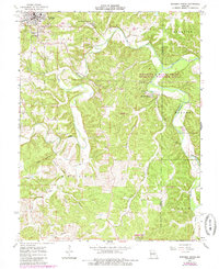
1963 Map of Maramec Spring
USGS Topo · Published 1985About this map
Maramec Spring and the surrounding Ozark landscape are deeply marked by the region's industrial heritage on this 1960s survey. The presence of the Old Iron Furnace and numerous Iron Pits near the spring highlights the early mineral extraction that defined the local economy before the area was transitioned into conservation lands like the Woodson K Woods State Memorial Wildlife Area. The map captures the city of St James at the top of the sheet, where the Masonic Cemetery serves as a key landmark for genealogical research.
Find a feature on this map
34 named features on this map. Tap any name to fly to it.
Don’t see what you’re looking for? This feature index may not catch every label — zoom into the map to look around manually.
Map Details
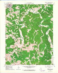
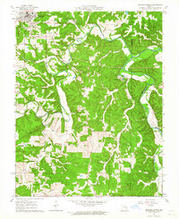
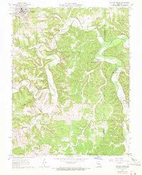
Editions of this 1963 Maramec Spring Map
4 editions found
Other maps of this area

1903 · Sullivan
USGS Topo · 1:125,000

1928 · Meramec Spring
USGS Topo · 1:62,500

1932 · Steelville
USGS Topo · 1:48,000

1933 · Steelville
USGS Topo · 1:62,500

1934 · Redbird
USGS Topo · 1:62,500

1937 · Steelville
USGS Topo · 1:62,500

1938 · Redbird
USGS Topo · 1:62,500

1948 · Cuba
USGS Topo · 1:24,000

1949 · Saint Louis
USGS Topo · 1:250,000

1949 · Rolla
USGS Topo · 1:250,000