
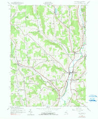
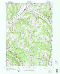
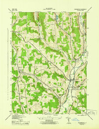
2023 Map of Marathon
USGS Topo · Published 2023About this map
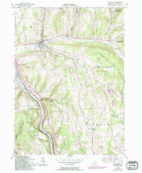
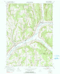
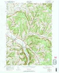
The Tioughnioga River corridor serves as the primary artery for settlement and transport through this portion of Central New York. Concentrated along the river banks are the village of Marathon and the hamlet of Killawog, both positioned where major tributaries like Hunts Creek and Jennings Creek meet the valley floor. The map documents a deeply layered landscape of local heritage, preserving the locations of numerous family and community burial grounds including the Marathon Village Cem and the Snyder Hill Cem. Away from the river valley, the terrain transitions into upland reaches where smaller communities like Hunts Corners and East Virgil are connected by a network of rural roads such as Steve Russell Hill Rd and Irish Hill Rd. The inclusion of Cochran Airport and the crossing of the Cortland Co Broome Co line provide modern spatial context to these long-established settlements.
Find a feature on this map
88 named features on this map. Tap any name to fly to it.
Don’t see what you’re looking for? This feature index may not catch every label — zoom into the map to look around manually.
Map Details
Editions of this 2023 Marathon Map
This is the sole edition of this map. No revisions or reprints were ever made.
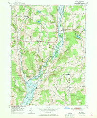
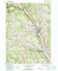
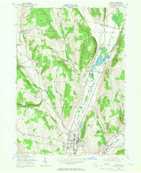
Historical Maps of Cortland County Through Time
26 maps found
1903 Harford
Cortland County, NY
1904 Pitcher
Cortland County, NY
1943 Cincinnatus
Cortland County, NY
1943 Cuyler
Cortland County, NY
1944 Cincinnatus
Cortland County, NY

1944 Cuyler
Cortland County, NY

1944 Homer
Cortland County, NY

1944 Mc Graw
Cortland County, NY

1944 Truxton
Cortland County, NY

1949 Harford
Cortland County, NY
1949 Willet
Cortland County, NY
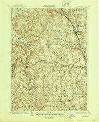
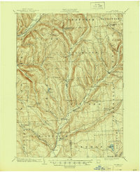
1950 Marathon
Cortland County, NY

1951 Harford
Cortland County, NY

1951 Willet
Cortland County, NY
1955 Homer
Cortland County, NY
1955 Mc Graw
Cortland County, NY
1955 Truxton
Cortland County, NY
1976 Harford
Cortland County, NY

1978 Homer
Cortland County, NY

2023 Cincinnatus
Cortland County, NY

2023 Cuyler
Cortland County, NY

2023 Harford
Cortland County, NY

2023 Homer
Cortland County, NY
2023 Marathon
Cortland County, NY

2023 Truxton
Cortland County, NY

2023 Willet
Cortland County, NY