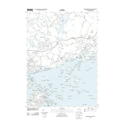
2012 Map of Marblehead North
USGS Topo · Published 2012About this map
Salem Harbor and the intricate coastline of the North Shore define this landscape, where maritime history and residential growth converge. The area is anchored by the prominent Marblehead Neck and the busy waterfronts of Manchester and Beverly Cove. Inland, the terrain rises toward numerous local heights such as Millstone Hill and Brimble Hill, interspersed with fresh water bodies like Chebacco Lake and Longham Reservoir. This geography supported a diverse economy of seafaring and early suburban development, visible in the cluster of academic institutions like Gordon College and Endicott Community College. Notable aids to navigation, including the Marblehead Lighthouse, Bakers Island Light, and the Fort Pickering Lighthouse, illustrate the critical importance of the Salem Channel and Manchester Channel to local trade. Numerous family and community landmarks, such as Saint Marys Cem and the YMCA Camp, are preserved alongside the established residential neighborhoods of Prides Crossing and Beverly Farms.
Find a feature on this map
314 named features on this map. Tap any name to fly to it.
Don’t see what you’re looking for? This feature index may not catch every label — zoom into the map to look around manually.
Map Details
Editions of this 2012 Marblehead North Map
This is the sole edition of this map. No revisions or reprints were ever made.
Other maps of this area

1886 · Gloucester
USGS Topo · 1:62,500

1888 · Gloucester
USGS Topo · 1:62,500

1888 · Salem
USGS Topo · 1:62,500

1892 · Boston Bay
USGS Topo · 1:62,500

1893 · Salem
USGS Topo · 1:62,500

1893 · Gloucester
USGS Topo · 1:62,500

1903 · Boston Bay
USGS Topo · 1:62,500

1917 · Salem
USGS Topo · 1:62,500

1918 · Gloucester
USGS Topo · 1:62,500

1919 · Salem
USGS Topo · 1:62,500