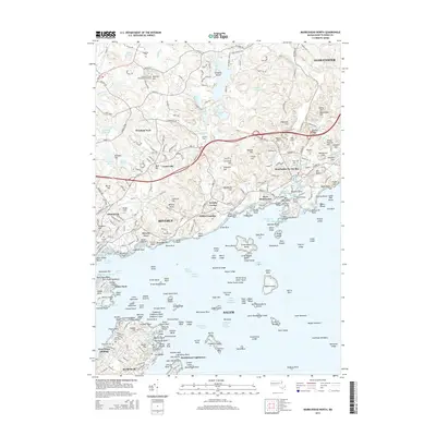
2015 Map of Marblehead North
USGS Topo · Published 2015About this map
Marblehead Lighthouse stands as a sentinel at the mouth of Salem Sound, marking a rugged coastline defined by dozens of named ledges, shoals, and islands. This coastal survey of the North Shore captures the densely settled corridor from Beverly through Manchester-by-the-Sea to the outskirts of Gloucester. The landscape transitions from the maritime activity of Beverly Channel and Manchester Channel to the higher elevations of the interior, where numerous summits like Millstone Hill and Morse Hill overlook the region.
Find a feature on this map
223 named features on this map. Tap any name to fly to it.
Don’t see what you’re looking for? This feature index may not catch every label — zoom into the map to look around manually.
Map Details
Editions of this 2015 Marblehead North Map
This is the sole edition of this map. No revisions or reprints were ever made.
Other maps of this area

1886 · Gloucester
USGS Topo · 1:62,500

1888 · Gloucester
USGS Topo · 1:62,500

1888 · Salem
USGS Topo · 1:62,500

1892 · Boston Bay
USGS Topo · 1:62,500

1893 · Salem
USGS Topo · 1:62,500

1893 · Gloucester
USGS Topo · 1:62,500

1903 · Boston Bay
USGS Topo · 1:62,500

1917 · Salem
USGS Topo · 1:62,500

1918 · Gloucester
USGS Topo · 1:62,500

1919 · Salem
USGS Topo · 1:62,500