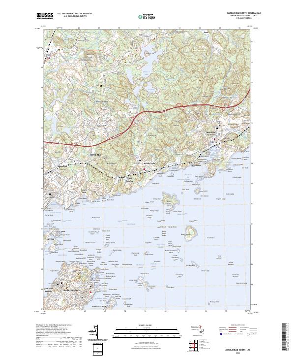
2024 Map of Marblehead North
USGS Topo · Published 2024About this map
Marblehead and Beverly dominate this coastal landscape, where the seafaring heritage of the North Shore meets established academic institutions. Educational centers like Gordon College and Endicott College occupy significant acreage inland, while the coastline is defined by the complex geography of Salem Sound and Manchester Harbor. Historic defense and infrastructure are evident at Fort Pickering and the Old Gas House, pointing to the region's long-standing maritime and industrial importance.
Find a feature on this map
197 named features on this map. Tap any name to fly to it.
Don’t see what you’re looking for? This feature index may not catch every label — zoom into the map to look around manually.
Map Details
Editions of this 2024 Marblehead North Map
This is the sole edition of this map. No revisions or reprints were ever made.
Other maps of this area

1886 · Gloucester
USGS Topo · 1:62,500

1888 · Gloucester
USGS Topo · 1:62,500

1888 · Salem
USGS Topo · 1:62,500

1892 · Boston Bay
USGS Topo · 1:62,500

1893 · Salem
USGS Topo · 1:62,500

1893 · Gloucester
USGS Topo · 1:62,500

1903 · Boston Bay
USGS Topo · 1:62,500

1917 · Salem
USGS Topo · 1:62,500

1918 · Gloucester
USGS Topo · 1:62,500

1919 · Salem
USGS Topo · 1:62,500