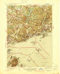
1945 Map of Marblehead North
USGS Topo · Published 1945About this map
Coastal Essex County during the mid-1940s reveals a landscape of dense North Shore settlements and rugged maritime geography. The Boston and Maine RR serves as the backbone for travel between Beverly and Manchester, passing through localized hubs like Montserrat and Beverly Farms. This period shows the region's historic coastal defense and navigation infrastructure still prominent, featuring Fort Sewell and the Marblehead Lh guarding the approaches to the harbor. Inland, the terrain is defined by a series of high points like Browns Hill and Moses Hill, interspersed with significant water bodies including Wenham Lake and Chebacco Lake. The map details a transition from the industrial and residential core of Marblehead and its Waterside Cem to the offshore reaches of the Atlantic Ocean, including the islands of Great Misery Island and Bakers Island.
Find a feature on this map
103 named features on this map. Tap any name to fly to it.
Don’t see what you’re looking for? This feature index may not catch every label — zoom into the map to look around manually.
Map Details
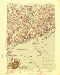
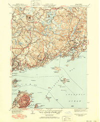
Editions of this 1945 Marblehead North Map
3 editions found
Other maps of this area

1886 · Gloucester
USGS Topo · 1:62,500

1888 · Gloucester
USGS Topo · 1:62,500

1888 · Salem
USGS Topo · 1:62,500

1892 · Boston Bay
USGS Topo · 1:62,500

1893 · Salem
USGS Topo · 1:62,500

1893 · Gloucester
USGS Topo · 1:62,500

1903 · Boston Bay
USGS Topo · 1:62,500

1917 · Salem
USGS Topo · 1:62,500

1918 · Gloucester
USGS Topo · 1:62,500

1919 · Salem
USGS Topo · 1:62,500