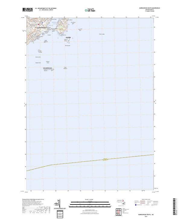
2024 Map of Marblehead South
USGS Topo · Published 2024About this map
Marblehead and the rocky protrusions of the Massachusetts coastline dominate this 2024 map of the North Shore. The geography is characterized by numerous small beaches and offshore hazards, with Marblehead Harbor serving as a focal point for the densely settled area. Along the shore, a string of coastal landmarks including Devereux Beach, Riverhead Beach, and Goldthwait Beach illustrate the residential and recreational character of the neck.
Find a feature on this map
44 named features on this map. Tap any name to fly to it.
Don’t see what you’re looking for? This feature index may not catch every label — zoom into the map to look around manually.
Map Details
Editions of this 2024 Marblehead South Map
This is the sole edition of this map. No revisions or reprints were ever made.
Other maps of this area

1886 · Gloucester
USGS Topo · 1:62,500

1888 · Gloucester
USGS Topo · 1:62,500

1888 · Salem
USGS Topo · 1:62,500

1892 · Boston Bay
USGS Topo · 1:62,500

1893 · Salem
USGS Topo · 1:62,500

1893 · Gloucester
USGS Topo · 1:62,500

1903 · Boston Bay
USGS Topo · 1:62,500

1917 · Salem
USGS Topo · 1:62,500

1918 · Gloucester
USGS Topo · 1:62,500

1919 · Salem
USGS Topo · 1:62,500