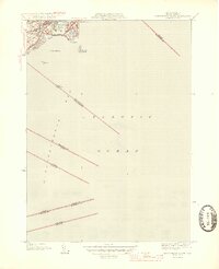
1945 Map of Marblehead South
USGS Topo · Published 1945About this map
Marblehead and its coastal surroundings are shown here just after the war, illustrating the dense residential core of the peninsula and its relationship to the Atlantic Ocean. The survey highlights the narrow Causeway connecting the mainland to the Neck, providing a clear view of the harbor's protective geography. Maritime landmarks such as Skinner Head, Boden Pt, and the rocky outcroppings of Great Pig Rocks and Tinkers I underscore the nautical character of the North Shore. Transportation is anchored by the Boston and Maine railroad line, which reaches into the Devereux area. The map also meticulously records the boundaries extending into the tidewater, marking divisions between coastal communities from Salem down to the Boston line.
Find a feature on this map
24 named features on this map. Tap any name to fly to it.
Don’t see what you’re looking for? This feature index may not catch every label — zoom into the map to look around manually.
Map Details
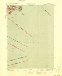
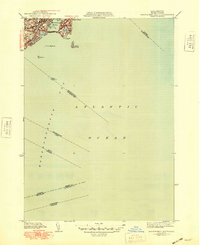
Editions of this 1945 Marblehead South Map
3 editions found
Other maps of this area

1886 · Gloucester
USGS Topo · 1:62,500

1888 · Gloucester
USGS Topo · 1:62,500

1888 · Salem
USGS Topo · 1:62,500

1892 · Boston Bay
USGS Topo · 1:62,500

1893 · Salem
USGS Topo · 1:62,500

1893 · Gloucester
USGS Topo · 1:62,500

1903 · Boston Bay
USGS Topo · 1:62,500

1917 · Salem
USGS Topo · 1:62,500

1918 · Gloucester
USGS Topo · 1:62,500

1919 · Salem
USGS Topo · 1:62,500