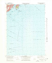
1970 Map of Marblehead South
USGS Topo · Published 1976About this map
Marblehead Neck anchors the northern edge of this coastal survey, defined by its complex shoreline and prominent landmarks like Castle Rock and Flying Point. The harbor community of Marblehead is shown in detail, featuring local institutions such as Abbot Hall, the Library, and the Star of the Sea Sch. This area, revised from 1969 aerial photography, captures the dense residential fabric of the Devereux neighborhood just as the region's mid-century character was fully established.
Find a feature on this map
34 named features on this map. Tap any name to fly to it.
Don’t see what you’re looking for? This feature index may not catch every label — zoom into the map to look around manually.
Map Details
Editions of this 1970 Marblehead South Map
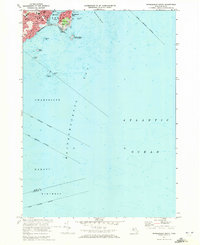
2 editions found
Other maps of this area

1886 · Gloucester
USGS Topo · 1:62,500

1888 · Gloucester
USGS Topo · 1:62,500

1888 · Salem
USGS Topo · 1:62,500

1892 · Boston Bay
USGS Topo · 1:62,500

1893 · Salem
USGS Topo · 1:62,500

1893 · Gloucester
USGS Topo · 1:62,500

1903 · Boston Bay
USGS Topo · 1:62,500

1917 · Salem
USGS Topo · 1:62,500

1918 · Gloucester
USGS Topo · 1:62,500

1919 · Salem
USGS Topo · 1:62,500