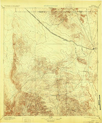
1895 Map of Marfa
USGS Topo · Published 1929About this map
The high plateau and rugged escarpments of the Trans-Pecos region are defined here by the Southern Pacific Galveston Harrisburg and San Antonio Div. railroad, which cuts a straight line across Ryan Flat. This late 19th-century survey documents the cattle-ranching landscape before modern development, centered on the emerging hub of Marfa. Smaller stopping points like Ryan and Aragon serve the rail line, while isolated outposts such as Humphris, Bogel, and Porter's Ranch mark the difficult terrain between the Oak Hills and the massive Cuesta Del Burro. The presence of a Stage Stand near the southern hills indicates the persisting reliance on overland trail travel even as the railroad transformed the region. The drainage network, including Capote Draw and Alamito Creek, illustrates the seasonal water sources critical for life in this arid environment.
Find a feature on this map
25 named features on this map. Tap any name to fly to it.
Don’t see what you’re looking for? This feature index may not catch every label — zoom into the map to look around manually.
Map Details
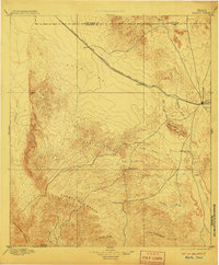
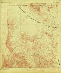
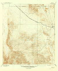
Editions of this 1895 Marfa Map
5 editions found
Other maps of this area

1892 · Chispa
USGS Topo · 1:125,000

1894 · Valentine
USGS Topo · 1:125,000

1894 · Fort Davis
USGS Topo · 1:125,000

1895 · Chispa
USGS Topo · 1:125,000

1895 · Marfa
USGS Topo · 1:125,000

1895 · Alpine
USGS Topo · 1:125,000

1896 · Ruidosa
USGS Topo · 1:125,000

1896 · San Carlos
USGS Topo · 1:125,000

1896 · Shafter
USGS Topo · 1:125,000

1897 · Valentine
USGS Topo · 1:125,000