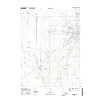
2016 Map of Marion West
USGS Topo · Published 2016About this map
Marion anchors the eastern edge of this western Ohio landscape, where the urban grid meets the agricultural reaches of the Scioto river valley. This geography is defined by the confluence of the Scioto River and the Little Scioto River, a waterway network that historically shaped the settlement patterns of the region. The map reveals the layout of established neighborhoods like Oak Knoll and Bellaire Gardens, alongside smaller communities such as Green Camp and Big Island. Genealogists will find several burial sites preserved across the township, including the centrally located Old Marion Cem and Saint Marys Cem, as well as rural family plots like Rayl Cem, Sullivan Cem, and Reidel Cem. The terrain is marked by distinct drainage features such as Rock Swale, Honey Cr, and Willow Swamp, illustrating the transition from developed city streets to the natural drainage systems of the Scioto basin.
Find a feature on this map
118 named features on this map. Tap any name to fly to it.
Don’t see what you’re looking for? This feature index may not catch every label — zoom into the map to look around manually.
Map Details
Editions of this 2016 Marion West Map
This is the sole edition of this map. No revisions or reprints were ever made.
Other maps of this area

1903 · Marion
USGS Topo · 1:62,500

1905 · Marion
USGS Topo · 1:62,500

1913 · Richwood
USGS Topo · 1:62,500

1915 · Richwood
USGS Topo · 1:62,500

1915 · La Rue
USGS Topo · 1:62,500

1924 · Delaware
USGS Topo · 1:62,500

1925 · Delaware
USGS Topo · 1:62,500

1944 · Richwood
USGS Topo · 1:62,500

1944 · Delaware
USGS Topo · 1:62,500

1950 · Marion
USGS Topo · 1:250,000