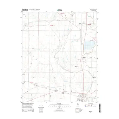
2015 Map of Marks
USGS Topo · Published 2015About this map
The alluvial plains of the Mississippi Delta define this landscape, where the Coldwater River and several significant bayous wind through a patchwork of agricultural land. The county seat of Marks and its neighbor West Marks serve as the primary hubs of the region, situated along the southern edge of the survey. The settlement pattern follows the drainage of the land, with smaller communities like Belen, Darling, and Hinchcliff established on slightly higher ground or along historical transport corridors.
Find a feature on this map
94 named features on this map. Tap any name to fly to it.
Don’t see what you’re looking for? This feature index may not catch every label — zoom into the map to look around manually.
Map Details
Editions of this 2015 Marks Map
This is the sole edition of this map. No revisions or reprints were ever made.
Other maps of this area

1908 · Lula
USGS Topo · 1:24,000

1908 · Jonestown
USGS Topo · 1:24,000

1910 · Jonestown
USGS Topo · 1:31,680

1912 · Lula
USGS Topo · 1:31,680

1932 · Sledge
USGS Topo · 1:48,000

1932 · Tutwiler
USGS Topo · 1:48,000

1932 · Marks
USGS Topo · 1:48,000

1935 · Crowder
USGS Topo · 1:62,500

1935 · Marks
USGS Topo · 1:62,500

1935 · Tutwiler
USGS Topo · 1:62,500