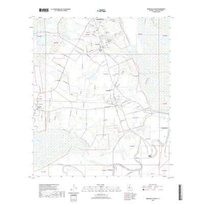
2018 Map of Marksville South
USGS Topo · Published 2018About this map
Marksville and the surrounding Avoyelles Parish landscape are defined by an intricate network of waterways and low-lying basins. The southern edge of the city gives way to the small settlements of Cocoville and Mansura, where the terrain is marked by the winding paths of Bayou Lacombe and Bayou Grande Écore. This area illustrates the traditional French-influenced settlement patterns of central Louisiana, with long, narrow property lines and roads such as Dewey Bernard Rd and Lanson Bordelon Rd tracing the natural levees. The presence of the Tunica-Biloxi Cem and several community burial grounds like Jerusalem Cem and Balbry Cem speak to the deep ancestral roots in this region. Further south, the landscape transitions into the wetlands near Lac aux Perles and the drainage systems of Bayou des Cyprieres, highlighting the importance of water management in the development of towns like Hessmer and Cottonport.
Find a feature on this map
109 named features on this map. Tap any name to fly to it.
Don’t see what you’re looking for? This feature index may not catch every label — zoom into the map to look around manually.
Map Details
Editions of this 2018 Marksville South Map
This is the sole edition of this map. No revisions or reprints were ever made.
Other maps of this area

1940 · Marksville
USGS Topo · 1:62,500

1941 · Voorhies
USGS Topo · 1:62,500

1948 · Bunkie
USGS Topo · 1:62,500

1952 · Lake Charles
USGS Topo · 1:250,000

1953 · Alexandria
USGS Topo · 1:250,000

1953 · Natchez
USGS Topo · 1:250,000

1954 · Lake Charles
USGS Topo · 1:250,000

1954 · Baton Rouge
USGS Topo · 1:250,000

1955 · Odenburg
USGS Topo · 1:62,500

1955 · Alexandria
USGS Topo · 1:250,000