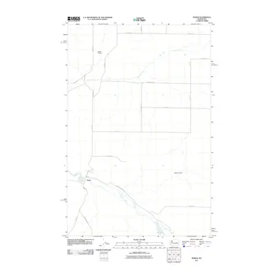
2011 Map of Marlin
USGS Topo · Published 2011About this map
Marlin serves as the primary settlement in this part of Grant County, positioned where the valley floor widens near the confluence of local drainage systems. The landscape is defined by the winding course of Crab Creek, which dictates the orientation of local infrastructure like Peterson Mendell Rd E and Urquhart Ave. To the north and east, the terrain transitions into a series of coulees and depressions, including Gibson Draw and Marlin Hollow, reflecting the distinct basalt-carved geology of the region.
Find a feature on this map
24 named features on this map. Tap any name to fly to it.
Don’t see what you’re looking for? This feature index may not catch every label — zoom into the map to look around manually.
Map Details
Editions of this 2011 Marlin Map
This is the sole edition of this map. No revisions or reprints were ever made.
Other maps of this area

1953 · Ritzville
USGS Topo · 1:250,000

1956 · Wilson Creek SE
USGS Topo · 1:24,000

1956 · Wilson Creek
USGS Topo · 1:62,500

1959 · Ritzville
USGS Topo · 1:250,000

1965 · Ritzville
USGS Topo · 1:250,000

1968 · Marlin SW
USGS Topo · 1:24,000

1968 · Irby
USGS Topo · 1:24,000

1968 · Marlin
USGS Topo · 1:24,000

1968 · Hartline SE
USGS Topo · 1:24,000

1968 · Sullivan Lake
USGS Topo · 1:24,000