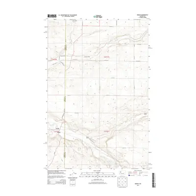
2013 Map of Marlin
USGS Topo · Published 2013About this map
Krupp, also known as Marlin, sits at the intersection of the Grant and Lincoln county lines in eastern Washington. This 2013 survey reveals a landscape deeply carved by drainage systems, notably Crab Cr and Canniwai Cr, which have formed prominent geographic features like Canniwai Valley and Marlin Hollow. The terrain is characterized by a mix of coulees and plateaus, with Peterson Lake tucked into a bend of the southern creek bed.
Find a feature on this map
34 named features on this map. Tap any name to fly to it.
Don’t see what you’re looking for? This feature index may not catch every label — zoom into the map to look around manually.
Map Details
Editions of this 2013 Marlin Map
This is the sole edition of this map. No revisions or reprints were ever made.
Other maps of this area

1953 · Ritzville
USGS Topo · 1:250,000

1956 · Wilson Creek SE
USGS Topo · 1:24,000

1956 · Wilson Creek
USGS Topo · 1:62,500

1959 · Ritzville
USGS Topo · 1:250,000

1965 · Ritzville
USGS Topo · 1:250,000

1968 · Marlin SW
USGS Topo · 1:24,000

1968 · Irby
USGS Topo · 1:24,000

1968 · Marlin
USGS Topo · 1:24,000

1968 · Hartline SE
USGS Topo · 1:24,000

1968 · Sullivan Lake
USGS Topo · 1:24,000